“Time to call on old Anne Hannah
While she sits there wishing for her last reward
Peaceful Sunday in Savannah
Don’t you dare go fishin‘, son, Amen.”
— Sunday in Savannah, Rosemary Clooney
Urban Patterns | Savannah, Georgia USA
by Dr. Mark David Major, AICP, CNU-A
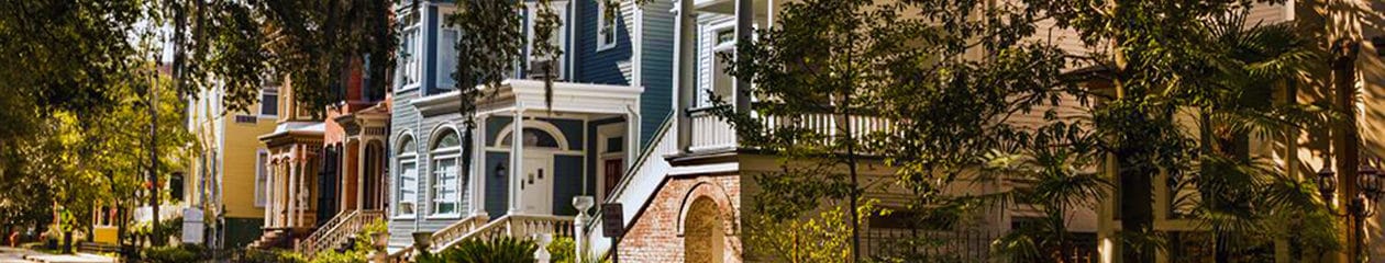
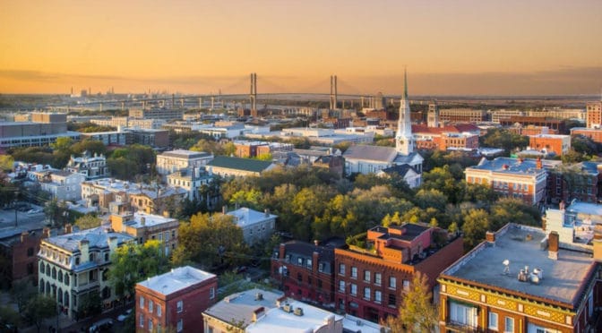
Savannah is the oldest city in the U.S. state of Georgia and is the county seat of Chatham County. Established in 1733 on the Savannah River, the city of Savannah became the British colonial capital of the Province of Georgia and later the first state capital of Georgia. A strategic port city in the American Revolution and during the American Civil War, Savannah is today an industrial center and an important Atlantic seaport. It is Georgia’s fifth-largest city and third-largest metropolitan area. Savannah’s architecture, history, and reputation for Southern charm and hospitality are internationally known. The city’s former promotional name was the “Hostess City of the South,” a phrase still used by the city government. An earlier nickname was “the Forest City”, in reference to the large population and species of oak trees that flourish in the Savannah area. These trees were especially valuable in shipbuilding during the 19th century. In 2014, Savannah attracted 13.5 million visitors from across the country and around the world. Savannah’s downtown area is one of the largest National Historic Landmark Districts in the United States (Source: Wikipedia).
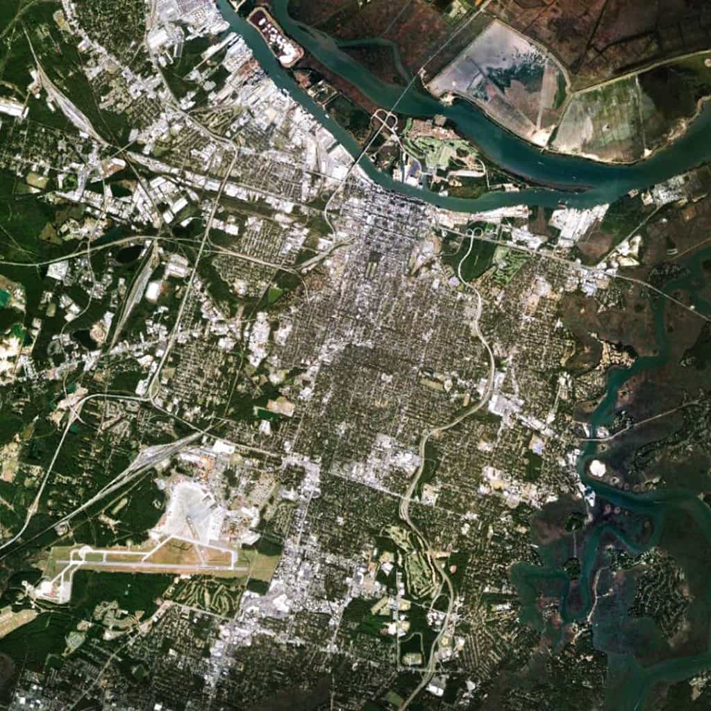
The Oglethorpe ward plan of Savannah sits on the banks of the Savannah River to the north (distinguished by the squares, which are darker in this image). The street alignments of the ward plan extend southwards to define the north-south streets of a larger orthogonal grid south of the Oglethorpe plan. Interstate 516, East Derenne Street, and the Harry S. Truman Parkway (road with wandering alignment to the east) effectively form a ‘ring road’ around the urban core to the south, west and east. The large blocks and offset grid to the west of the Oglethorpe plan introduce deformation into the layout to maximize the number of buildable lots in relation to the topography of the Savannah River (i.e. the port). The large airport to the extreme south is the Hunter Army Airfield. Except for Hutchinson Island itself (in Georgia), there is very little development north of Savannah in South Carolina except further north away from the river, perhaps due to a combination of environmental and jurisdictional factors.
(Updated: March 23, 2017)
Urban Patterns is a series of posts from The Outlaw Urbanist presenting interesting examples of terrestrial patterns shaped by human intervention in the urban landscape over time.
