“Old Town, the girl’s a fool, she broke the rule…”
— Old Town, Thin Lizzy
Urban Patterns | Old Town Fernandina | Spanish Laws of the Indies
by Dr. Mark David Major, AICP, CNU-A
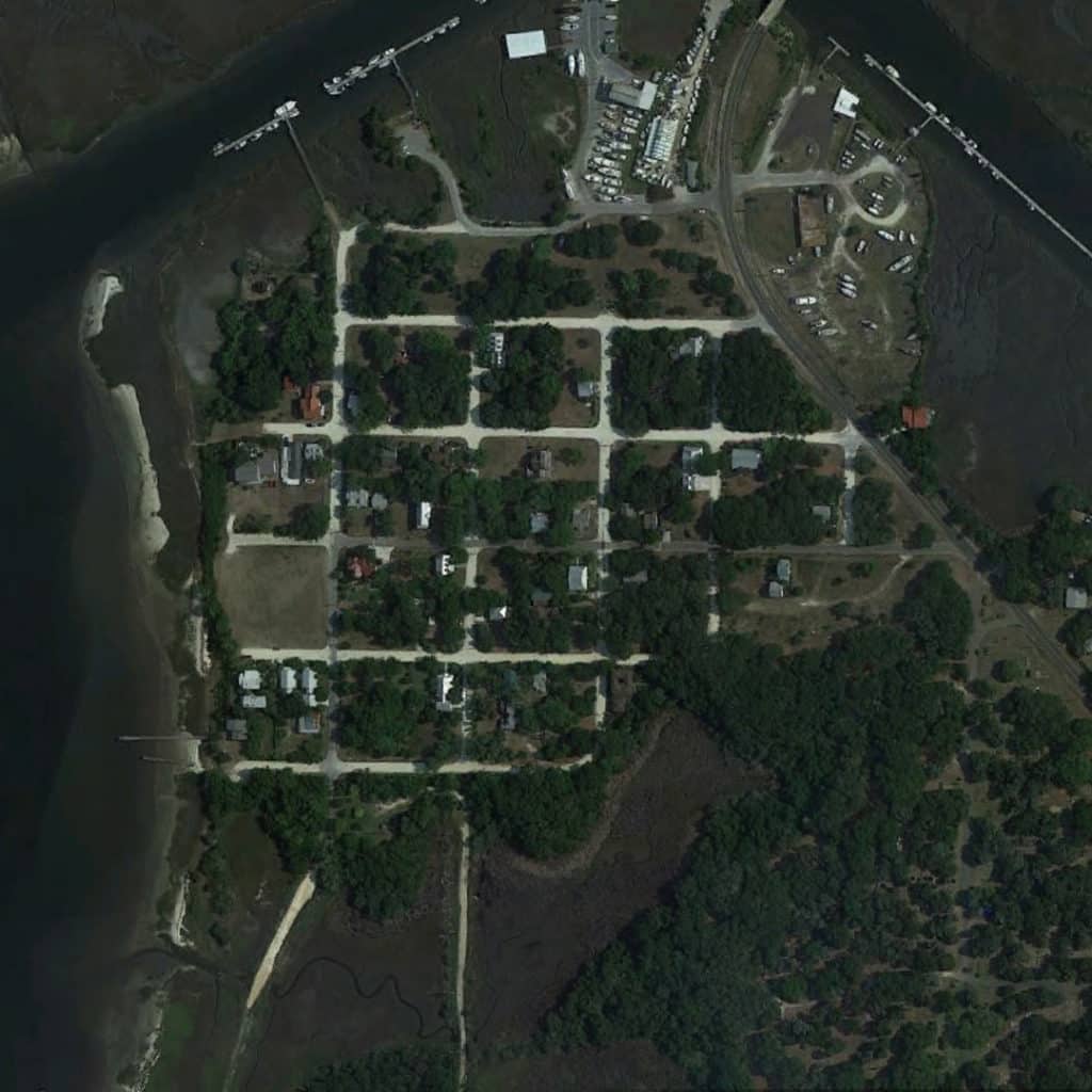
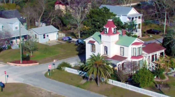
Old Town Fernandina is located on the northern end of Amelia Island in Florida, immediately south of the border with the State of Georgia, and about 40 miles north of Downtown Jacksonville. Old Town Fernandina was the last Spanish settlement founded in North America based on the Laws of the Indies and, as such, is listed on the National Register of Historic Places. Old Town is located on an inlet to the St. Mary’s River and Amelia River from the Atlantic Ocean, which offered (and still does) a generous deep-water port on the Atlantic coast for fishing and trade. Fernandina Beach grew southward with the construction of the David Yulee cross-state railroad from Cedar Key-to-Fernandina Beach in 1861 so the center of retail/commercial activity in Fernandina Beach shifted to what is now called “Downtown Fernandina.” Downtown Fernandina is also listed on the National Register of Historic Places. Because of this, Old Town Fernandina is probably the ‘purest’ example of a town founded based on the Spanish Laws of Indies remaining in North America. Fort San Carlos used to be located to the west of Plaza San Carlos (open space on the left of Old Town) but two-thirds of the grounds on which the fort formerly sat has been lost due to soil erosion.


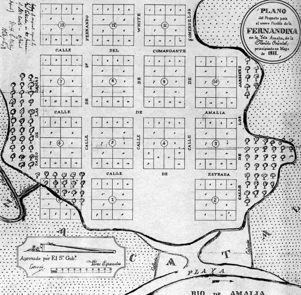
The earliest plat for the town (north is to the left in the above image) shows a regular grid layout ‘fitted’ to the shape of the topography of this peninsula in 4 x 4 block layout (5 x 5 street layout). The topography interrupts this geometric logic at the southeast (above, upper right-hand corner) and the northwest (above, lower left-hand corner) though the plat clearly shows the intention to in-fill to the northwest at the water’s edge in order to generate rectangular lots. Instead of a central plaza, the plaza in Fernandina was shifted to the what would become the water’s edge after the ‘disappearance’ of San Carlos into the river at the western edge of the plan (above, bottom edge of the drawing). The layout of lots within each block is also interesting with larger lots ‘internalized’ within the blocks and smaller lots ‘externalized’ along the eastern and western edges of the blocks. The exception is lots on the northern and southern edges of the blocks (identified as #1 and #2 in this plan) immediately adjacent to the plaza.
(Updated: April 7, 2017)
Urban Patterns is a series of posts from The Outlaw Urbanist presenting interesting examples of terrestrial patterns shaped by human intervention in the urban landscape over time.

