Photo Essay | London
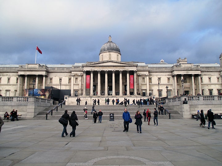
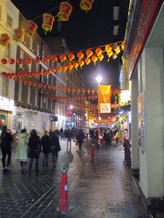
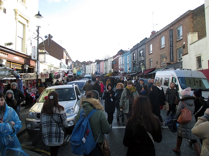
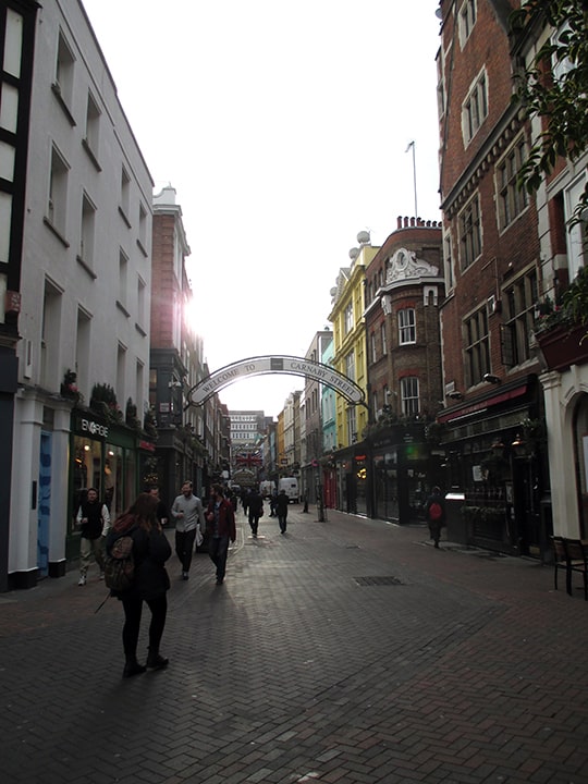
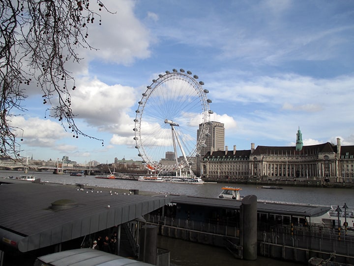
Photo Essay | London


“London calling, yes I was there too,
An’ you know what they said — well some of it was true!”
— London Calling, The Clash
Urban Patterns | London, United Kingdom
by Dr. Mark David Major, AICP, CNU-A
London is the capital and most populous city of England and the United Kingdom. Standing on the River Thames in the southeast of the island of Great Britain, London has been a major settlement for two millennia. It was founded by the Romans, who named it Londinium. London’s ancient core, the City of London, largely retains its +square-mile medieval boundaries. Since at least the 19th century, “London” has also referred to the metropolis around this core, historically split between Middlesex, Essex, Surrey, Kent, and Hertfordshire, which today largely makes up Greater London, governed by the Mayor of London and the London Assembly. London is a leading global city in the arts, commerce, education, entertainment, fashion, finance, healthcare, media, professional services, research and development, tourism, and transportation. London has a diverse range of people and cultures, and more than 300 languages are spoken in the region. The estimated mid-2015 municipal population (corresponding to Greater London) was 8,673,713, which is the largest of any city in the European Union, and accounting for 12.5% of the UK population (Source: Wikipedia).
Archaeological discoveries in the London area have found evidence of structures that date back as far as 4,500 B.C., indicating humans have occupied the area far longer than previously thought. However, the founding of London by the Romans in 43 AD still marks the first large-scale settlement in the area. This settlement was founded in the location of the modern “Square Mile” of the City of London (to the right of the below satellite view, north of the River Thames where there are five bridges).
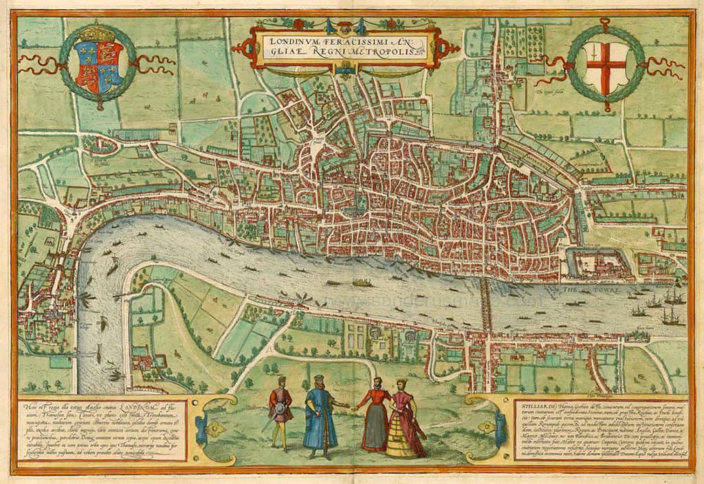
The City of Westminister (west and south of St. James Park along the River Thames where it has a – more or less – north-south alignment at this location) predates the Norman Conquest of England in 1066. The two distinct settlements only began to merge together during the 16th century (see above).
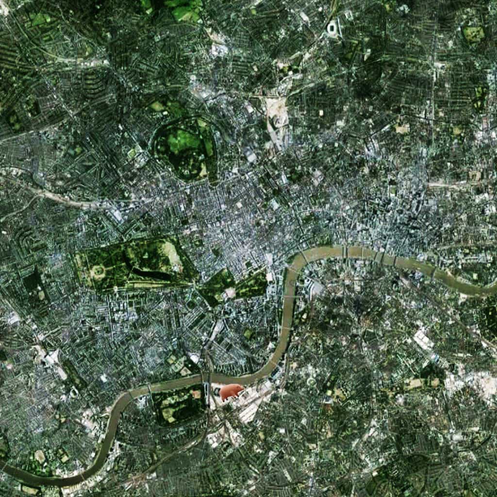
This created a new urban focus in what is now called the West End (the exact center of this image, which is focused on Piccadilly Circus, adjacent to Hyde Park) and, specifically, Oxford Street (the clearly visible, long east-west street at the center of the image). The City of London is characterized by a small-scale, deformed grid pattern of small blocks and short streets (in relative terms, though not nearly as small-scale as during the Medieval period).
In fact, all of London has a deformed grid pattern radiating outward from center-to-edge whereby the scale of the grid became larger for street lengths and block sizes (such as in the West End) during the growth of the city in order to mediate the relationship between the center and its ever-expanding edges.
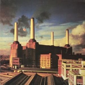
NOTE: As any Pink Floyd fan might expect, the flying pig marks the location of Battersea Power Station, currently and finally being redeveloped.
(Updated: June 16, 2017)
Urban Patterns is a series of posts from The Outlaw Urbanist presenting interesting examples of terrestrial patterns shaped by human intervention in the urban landscape over time.