Large swathes of St. Louis are downright depressing from the point of view of vibrant urbanism. By now, most everyone has heard about the racial problems in Ferguson, one of the earliest examples of post-war, white flight suburban sprawl in the city now populated by economically vulnerable populations; most likely heralding the beginning of the ‘ghettoization period’ for sprawl’s reputation in the United States. However, Federal, State and local redevelopment, planning, and housing policy has relentlessly decimated once-vibrant North St. Louis and East St. Louis, Illinois since World War II to the point where one might mistakenly think these areas were long-ago victims of a Soviet nuclear strike (no, these are self-inflicted wounds). Unfortunately, the same scenario has been playing out for large areas of South St. Louis over the last twenty years as well.
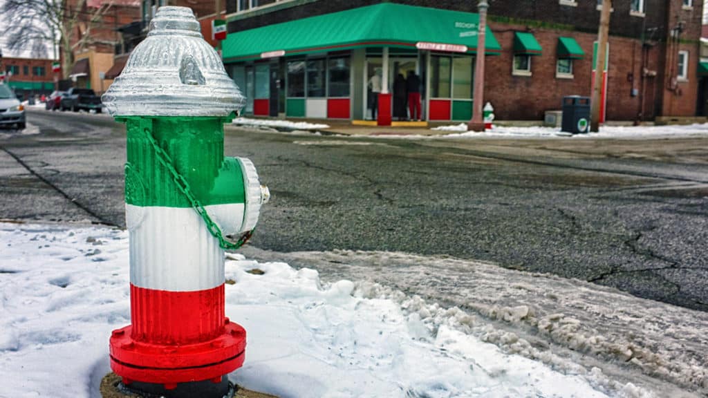
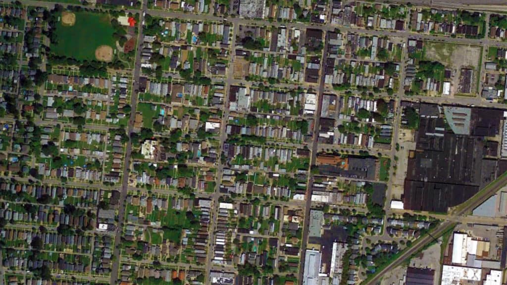
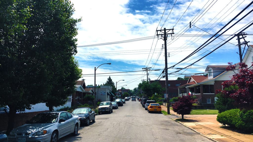
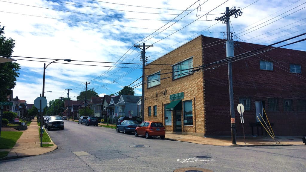
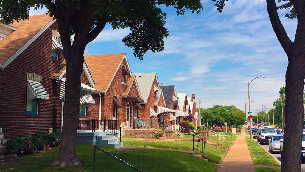
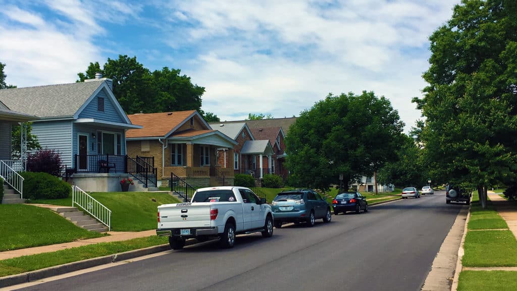
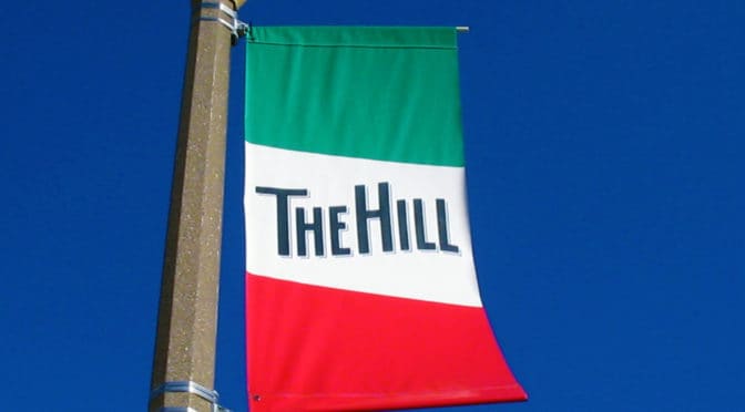
However, there are still some pockets of vibrant urbanism on display in St. Louis, which gives the city something to build upon if its leaders, professionals and citizens will only pause to look at those places as models for a sustainable future. One of these vibrant neighborhoods is The Hill located on the highest point in the city (formerly known as the St. Louis Hill) south of Forest Park. The official boundaries of The Hill are Manchester Avenue to the north, Columbia and Southwest Avenue to the South, South Kingshighway to the east, and Hampton Avenue to the west. For decades, the majority of residents on The Hill have been Italian Americans so the area is known for its many Italian businesses, restaurants (yes, the food is unbelievably good), and notable residents. This includes Yogi Berra, a Hall of Fame member of the New York Yankees during their 50s baseball dynasty known for his ‘Yogi-isms’ such as “It’s déjà vu all over again”, and Joe Garagiola, a Hall of Fame baseball broadcaster and rookie catcher for the St. Louis Cardinals World Series championship team in 1946.
