The Biblical City: Of, In, The…
by Dr. Mark David Major, AICP, CNU-A, The Outlaw Urbanist contributor
Can the Holy Bible tell us anything about urbanism?
There over eight hundred and fifty (850) common references to the city in the Holy Bible. There are over four-and-a-half times the number of common references to the city in the Old Testament than in the New Testament. This is unsurprising since the Old Testament has about four-and-a-third more words than the New Testament, depending on translation and which books are included.
Of the approximately one hundred and fifty (150) common references to the city in the New Testament, over twenty-one percent (21%) occur in the Book of Revelation alone. Outside of this, there are only six (6) common references to the city, which appear more significant than merely indicating a geographical place; two (2) in the Gospel of Matthew (or simply Matthew) and four (2) in St. Paul’s Letter to the Hebrews (or simply Hebrews). More than half (51%) of the common references to the city in New Testament are nouns denoting the location/direction of a specific person in space (“He went into the city”, e.g. he was outside but now he is inside), often after a proper name (e.g. Jerusalem) was previously used in the text.  These common references are extremely important in the New Testament. They map for the reader the movement and location of specific people at specific moments, most usually Jesus and his Apostles, or in recounting past events/parables during the course of the primary action of a specific text. More than a third (36%) of the common references are a non-possessive, non-relational subject or object (direct or indirect) of a sentence. (e.g. “The city was…” or “…a city”). Again, this often occurs after a proper name was previously used in the text (i.e. we already know where the action is taking place). Finally, only eleven percent (11%) of the common references in the New Testament are possessive nouns (e.g. “the priests of the city”). These possessive nouns are often important for denoting differences; for example, between insider (e.g. resident or citizen) and outsider (e.g. visitor or stranger), the powerful (e.g. priests) and the powerless (e.g. poor), or other such relationships presented as a dichotomy in the narrative.
The last might signify an important difference. Of the approximately seven hundred (700) common references to the city in the Old Testament, nearly twenty-seven percent (27%) are possessive nouns. Almost two-and-a-half times more possessive nouns are used in the Old Testament than the New Testament, in relative terms. There are several plausible reasons for this difference. It might be a simple quirk of translation, which arises for a variety of reasons. For example, most of the Torah is translated from Hebrew and the New Testament from Greek. Alternatively, perhaps it is simply because the texts of the New Testament are younger than those of the Torah. Another possibility is a difference in the scale of human perspective about their world. The perspective of the New Testament is a Roman World. The perspective of the Old Testament is limited to the region of Judea, Egypt and Mesopotamia. This might have led to a change in writing style, abrogating the perceived need for extensive use of possessive nouns. Or, it might be a consequence of all these factors. In any case, this might be important because the writing style of the New Testament – and, in particular, the Gospels and the Acts of the Apostles – seems much more similar to the Historical Books of the Old Testament (Joshua through Maccabees) than the other books.  Nearly three hundred (300) or forty-two percent (42%) of the common references to the city in Old Testament are nouns denoting the location/direction of a specific person in space. However, the Historical Books deploy these common references at a greater frequency than the rest of the Old Testament. Over forty-five percent (45%) of the common references to the city in the Old Testament occur in the Historical Books. Finally, about thirty-one percent (31%) of the common references to the city in the Old Testament are a non-possessive, non-relational subject or object (direct or indirect) of a sentence. What this suggests, whatever you might believe, is the writers of the Gospels and Acts believed they were writing histories and adopted the appropriate writing style for that endeavor drawing upon the model of Old Testament texts.
NEXT: Part 3, The Biblical City Redux
The Biblical City is a new series from The Outlaw Urbanist.

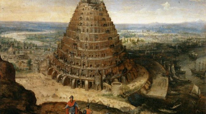

 The ancient concept of a city is remarkably different to our modern one due to radical differences in population. World population is generally estimated at between 15-60 million people before the 4th century AD height of the Roman Empire. World population today is more than 7 billion people or approximately 100-500 times greater, depending upon scholarly estimates for ancient populations. The modern megalopolis would have been unimaginable to our ancient ancestors. We also have to accept the limits of translation. Biblical texts have been translated time and time again over the ages. What we might find in researching the Holy Bible will be heavily dependent upon how these ancient texts were translated in the past, hereby affecting our interpretation of the material today. This article initially relies upon the King James (KJB) version of the Holy Bible but also uses the Catholic New Jerusalem Bible (NJB) (translated “directly from the Hebrew, Greek or Aramaic” according to the Roman Catholic Church) as a double-check for translation issues. It is likely this is insufficient. However, it is a good place to start if we actually hope to say anything on the subject during a single lifetime.
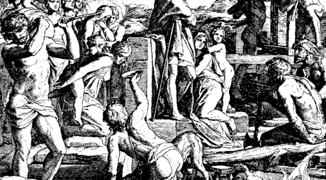
 The first city mentioned in the Holy Bible is Enoch, built by Cain and named after his son (NJB Genesis 4:17. “Cain had intercourse with his wife, and she conceived and gave birth to Enoch. He became the founder of a city and gave the city the name of his son Enoch”). Some argue Cain’s Enoch is the ancient Mesopotamian city of Uruk, which was famous as the capital city of Gilgamesh, hero of the Epic of Gilgamesh. However, it is more generally accepted that Uruk is the biblical Erech, said to be founded by Nimrod, who was the great-grandson of Noah. In any case, considering he famously murdered his brother Abel (KJB Genesis 4:9 “Am I my brother’s keeper?”), Cain represents a rather inauspicious father figure for city builders and planners. One could argue (tongue-firmly-in-cheek), this represents the original sin of the planning profession for which they still seek amends to this day as modern planners explicitly desire to be their “brother’s keeper”.