Tag Archives: Georgia

PHOTO ESSAY | Savannah, Georgia USA

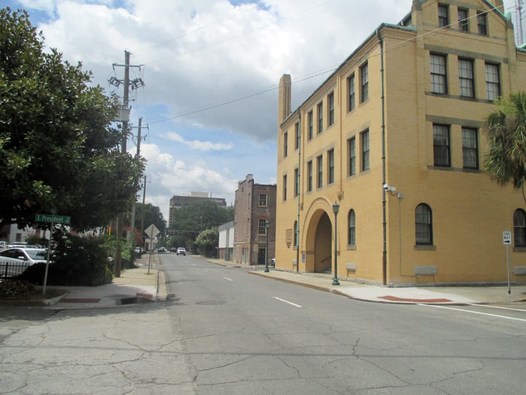
It has been said that ‘Savannah is all about its squares.’ This is inaccurate. The spatial logic of Savannah is all about the historical loading of front doors along east-west streets in the ward plan. This generates a spatial hierarchy in the plan between ‘outsiders’ (i.e. visitors) principally using north-south streets to enter the town (historically from the port, later via vehicular traffic) before assimilating along the east-west streets primarily used by ‘insiders’ (i.e. residents) (Anderson, 1986 and 1993; Kostof, 1991; Major, 2001 and 2014).
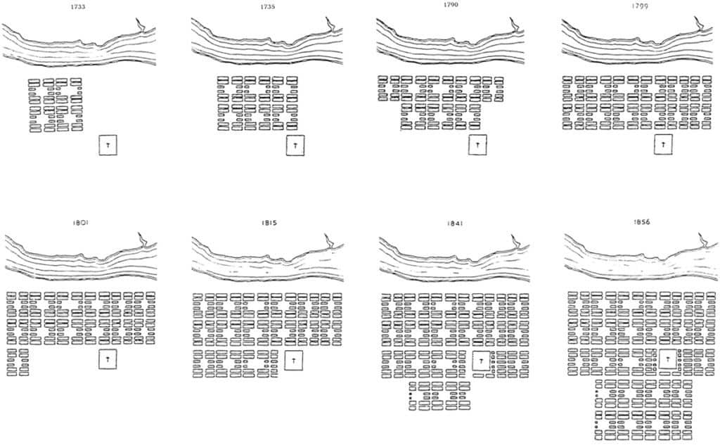
John Reps’ famous 1959 drawing of the historical growth of the Savannah, Georgia ward plan from 1733-1856 (Reps, 1965; 201).
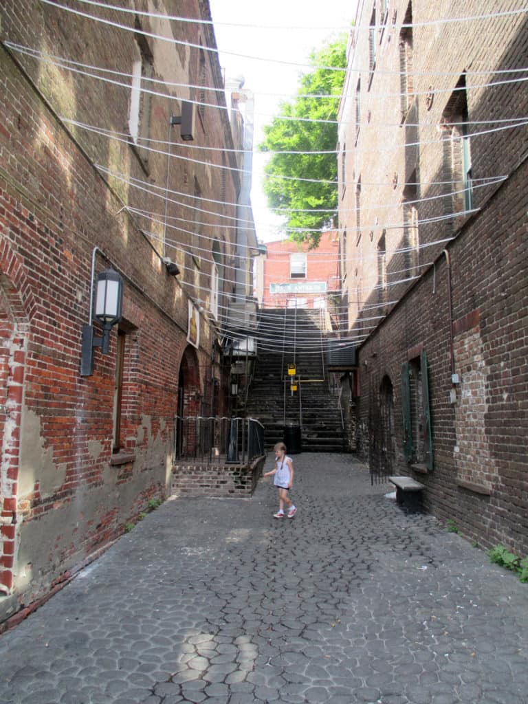
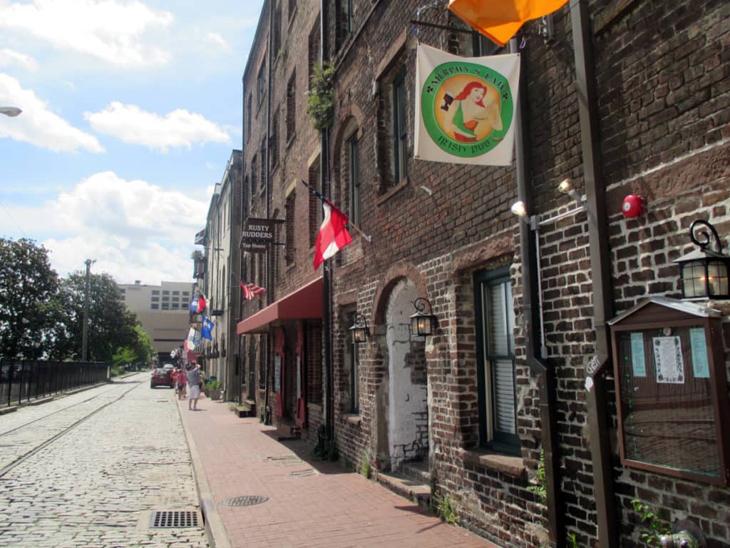
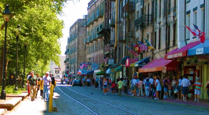
View southeast down West River Street: an east-west street in Savannah (Photograph: Mark David Major).
View southwest from West River Street to Williamson Street showing the dramatic change in elevation from the bank of the Savannah River (Photograph: Mark David Major).
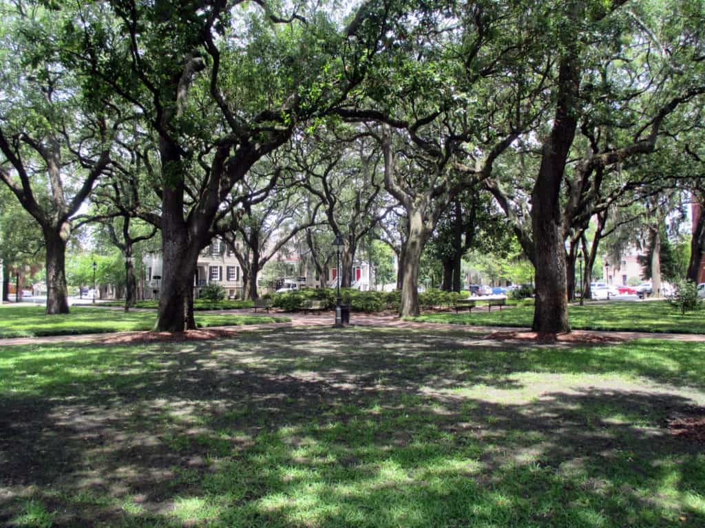
View northwest across Oglethorpe Square (Photograph: Mark David Major).
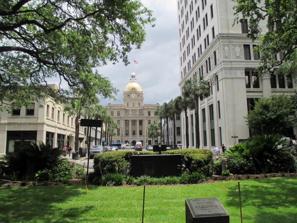
View northeast from Johnson Square down Bull Street to Savannah City Hall (Photograph: Mark David Major).
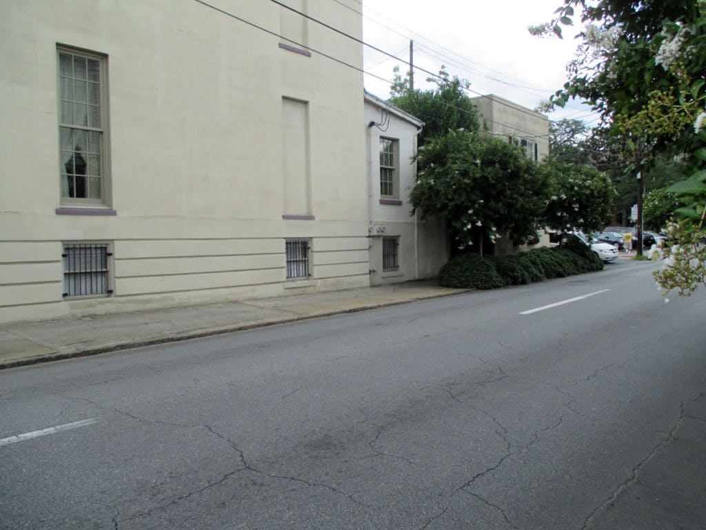
North-south streets, mostly barren of trees or front doors, bear the weight of moving high-speed (in relative terms) traffic through Savannah’s ward plan (Photograph: Mark David Major).
(Photograph: Mark David Major)

The spatial logic of the ward plan is imminently serviceable for managing moving traffic, treating most squares as enlarged roundabouts and filtering through traffic mostly along north-south streets such as this one. Over time, constitution (i.e. dwelling entrances) has emerged in a spotty fashion along these north-south streets but not enough (to date) to deteriorate the logic of loading front doors along east-west streets.
(Photograph: Mark David Major)

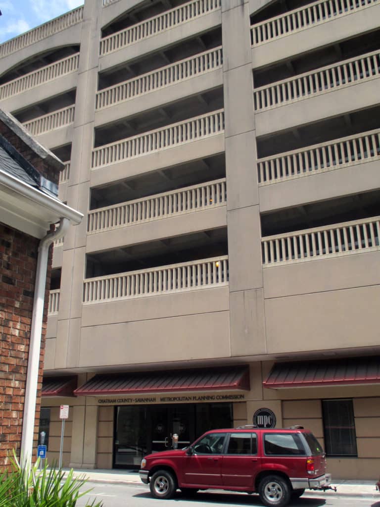
Despite this, Savannah’s ward plan is suffering under the weight of storing parked vehicles. There are parking garages located on at least four of the squares and two sides of Orleans Square is constituted by surface parking for the convention center. The wall constructed to ‘hide’ this surface parking does nothing to support the functioning of the ward plan or Orleans Square itself. This photo shows the Chatham County-Savannah Metropolitan Planning Commission offices occupying a ground level retail space (not a bad idea but poorly designed frontage) on Oglethorpe Square at the base of a seven-story parking garage (metaphorically-speaking, being crushed under the weight of parked vehicles).
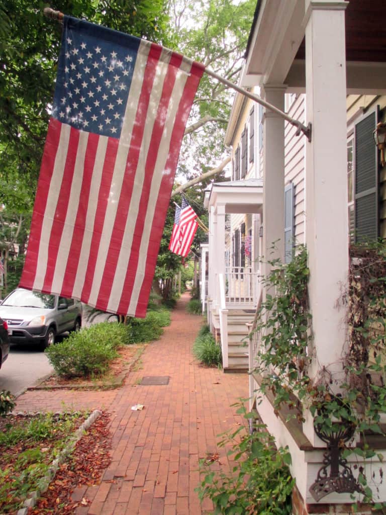
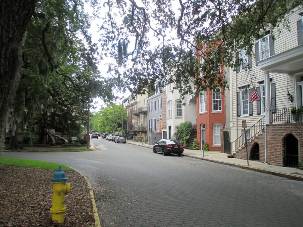
Loading of front doors along an east-west street in Savannah’s ward plan (Photograph: Mark David Major).
Loading of front doors (including double-loading at ground level and second-floor entries) on an east-west street defining the northern edge of Oglethorpe Square in Savannah (Photograph: Mark David Major).
(Photograph: Mark David Major)

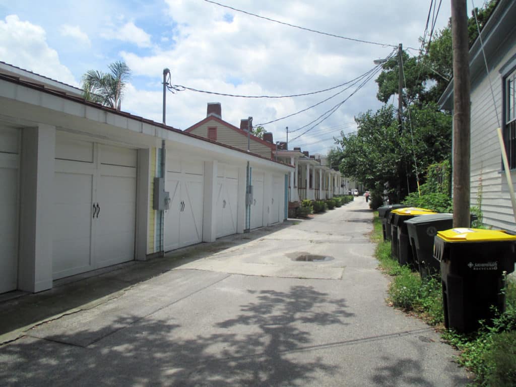
Some modern in-fill development adheres to the nuances of how Savannah’s ward plan was historically designed to function (front doors loaded on this east-west street in the development in the background) whereas some actively retards that functioning (garages loaded on east-west street in the development in the foreground, turning this portion of the space into an alleyway with trash cans).

References
Anderson, Stanford. 1993. “Savannah and the Issue of Precedent: City Plan as Resource”, Settlements in the Americas: Cross-Cultural Perspectives (Ed. Ralph Bennett). Newark: University of Delaware Press.

Anderson Stanford. 1986. “Studies towards an Ecological Model of Urban Environment”, On Streets (Ed. Stanford Anderson). Cambridge, Massachusetts: MIT Press.

Kostof, Spiro. 1991. The City Shaped: Urban Patterns and Meaning Through History. London: Thames and Hudson, Ltd.

Major, Mark David. 2015. Relentless Magnificence: The American Urban Grid. Ph.D. Thesis. Copies available from University College London.

Major, Mark David. 2001. “When is a door more than a door? The role of constitution in strongly geometric configurations”,  Third International Space Syntax Symposium Proceedings (Eds. J. Peponis, J. Wineman, S. Bafna), 37.1-37.14.

Reps, John W. 1965. The Making of Urban America: A History of City Planning in the United States. Princeton, NJ: Princeton University Press.

Share the knowledge!
Share

Urban Patterns | Savannah, Georgia USA

“Time to call on old Anne Hannah
While she sits there wishing for her last reward
Peaceful Sunday in Savannah
Don’t you dare go fishin, son, Amen.”
Sunday in Savannah, Rosemary Clooney

Urban Patterns | Savannah, Georgia USA
by Dr. Mark David Major, AICP, CNU-A

Savannah is the oldest city in the U.S. state of Georgia and is the county seat of Chatham County. Established in 1733 on the Savannah River, the city of Savannah became the British colonial capital of the Province of Georgia and later the first state capital of Georgia. A strategic port city in the American Revolution and during the American Civil War, Savannah is today an industrial center and an important Atlantic seaport. It is Georgia’s fifth-largest city and third-largest metropolitan area. Savannah’s architecture, history, and reputation for Southern charm and hospitality are internationally known. The city’s former promotional name was the “Hostess City of the South,” a phrase still used by the city government. An earlier nickname was “the Forest City”, in reference to the large population and species of oak trees that flourish in the Savannah area. These trees were especially valuable in shipbuilding during the 19th century. In 2014, Savannah attracted 13.5 million visitors from across the country and around the world. Savannah’s downtown area is one of the largest National Historic Landmark Districts in the United States (Source: Wikipedia).

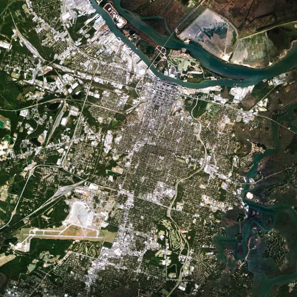
Satellite view from 15 km of Savannah, Georgia USA (Source: Google Earth).

The Oglethorpe ward plan of Savannah sits on the banks of the Savannah River to the north (distinguished by the squares, which are darker in this image). The street alignments of the ward plan extend southwards to define the north-south streets of a larger orthogonal grid south of the Oglethorpe plan. Interstate 516, East Derenne Street, and the Harry S. Truman Parkway (road with wandering alignment to the east) effectively form a ‘ring road’ around the urban core to the south, west and east. The large blocks and offset grid to the west of the Oglethorpe plan introduce deformation into the layout to maximize the number of buildable lots in relation to the topography of the Savannah River (i.e. the port). The large airport to the extreme south is the Hunter Army Airfield. Except for Hutchinson Island itself (in Georgia), there is very little development north of Savannah in South Carolina except further north away from the river, perhaps due to a combination of environmental and jurisdictional factors.

(Updated: March 23, 2017)

Urban Patterns is a series of posts from The Outlaw Urbanist presenting interesting examples of terrestrial patterns shaped by human intervention in the urban landscape over time.

Share the knowledge!
Share