Category Archives: Photography

PHOTO ESSAY | Downtown Los Angeles

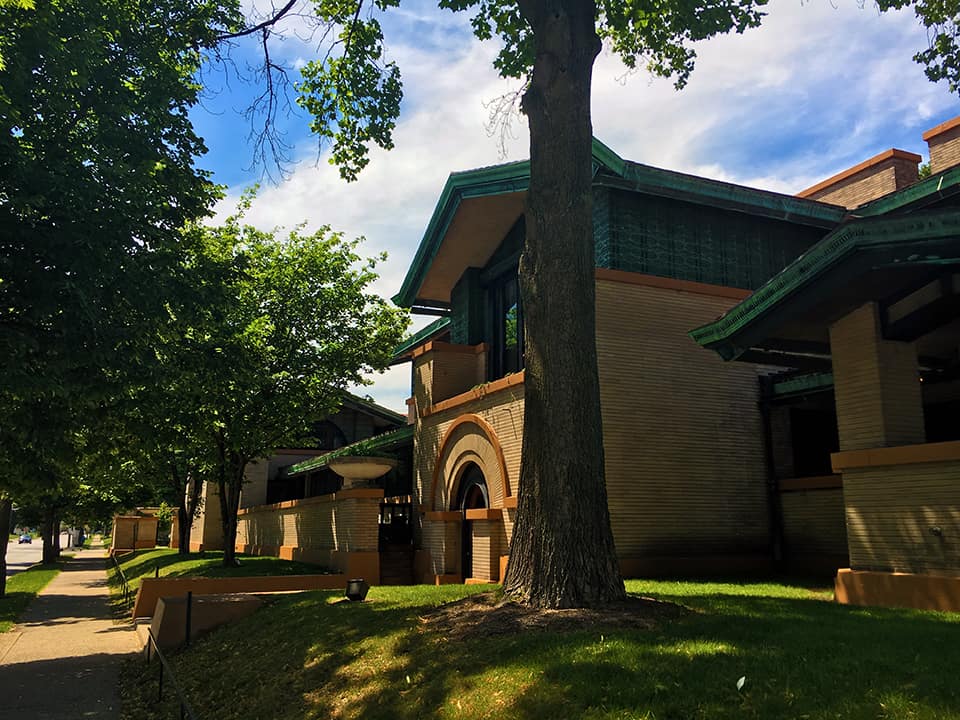
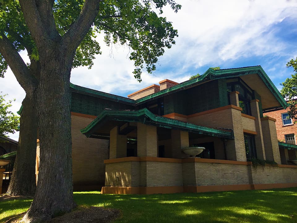
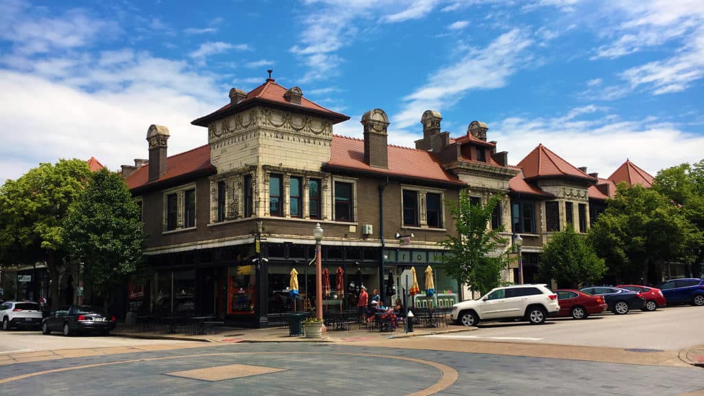
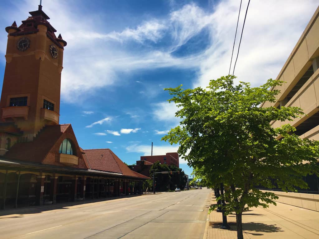
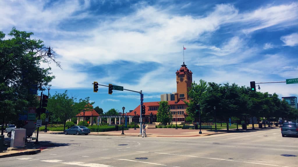
There are few cities in the world more perplexing than Los Angeles. The reasons are many. The Outlaw Urbanist will take a closer look at some of those reasons in a multi-part, photo essay series. Today, we begin with Downtown L.A., which uniquely combines fascination and frustration for any architect, urban designer, and planner with a good conscience.

Downtown L.A. could be incredible urbanism. In fact, it should be incredible urbanism. Instead, it comes across as lazy. Downtown L.A. is alive but not necessarily well. It has ‘good bones’ including some stunning pre-World War II buildings. However, Downtown L.A. desperately needs large doses of TLDC (tender, loving design care), which appears somewhat lacking at the moment.

View along S. Broadway in Downtown L.A. (Photo: Mark David Major).

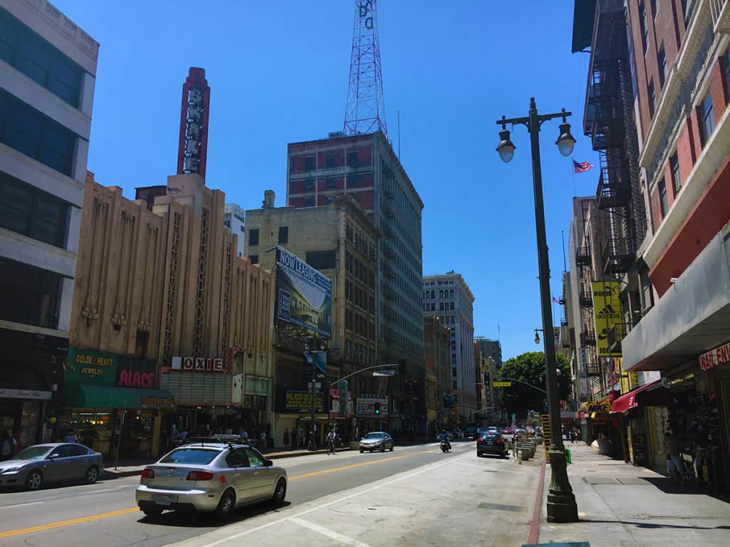
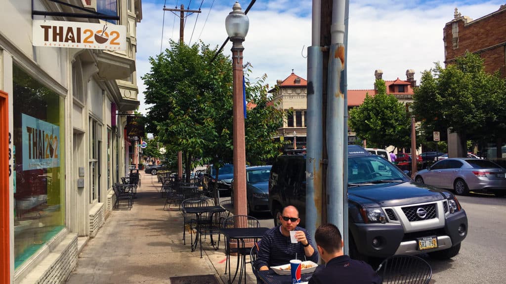
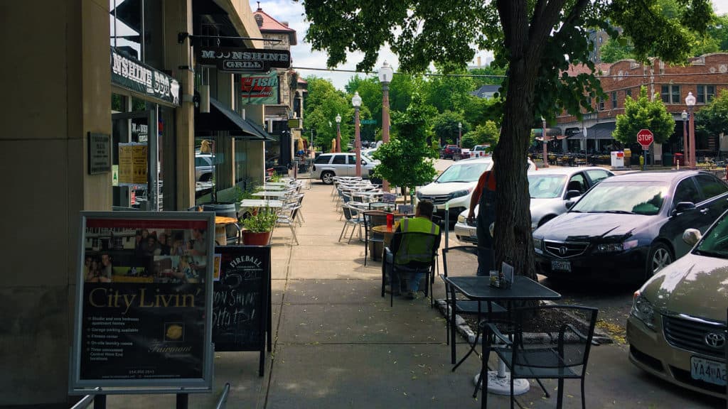
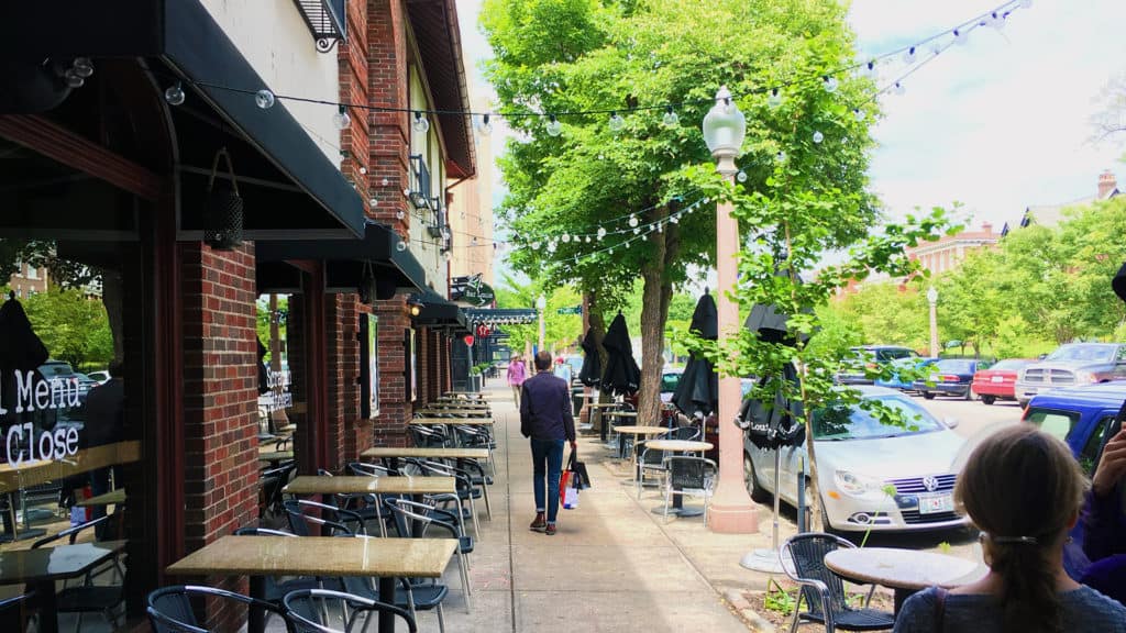
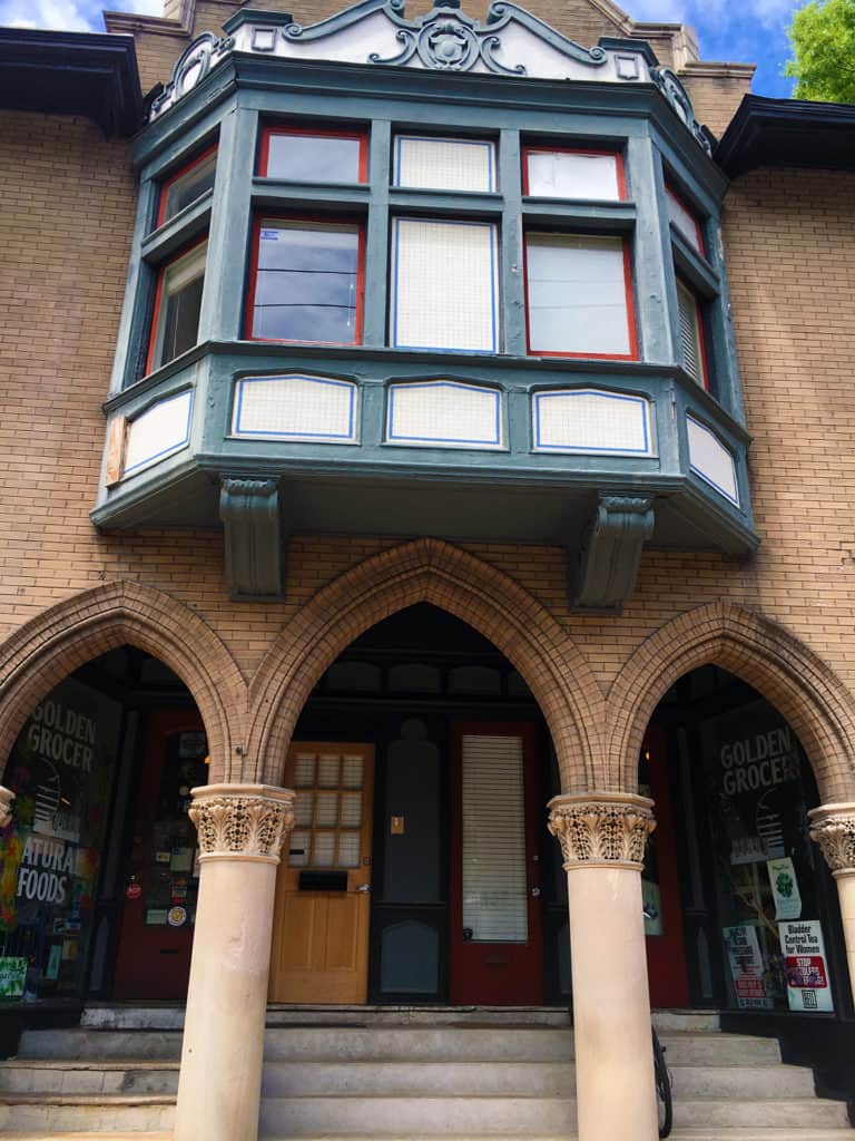
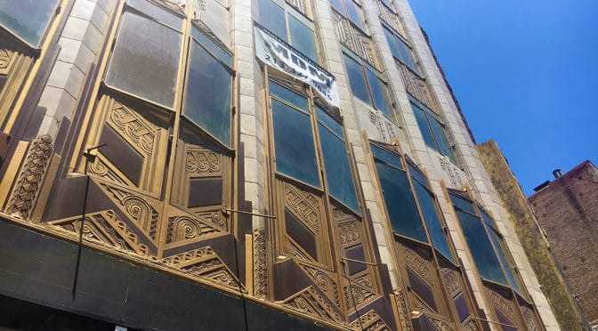
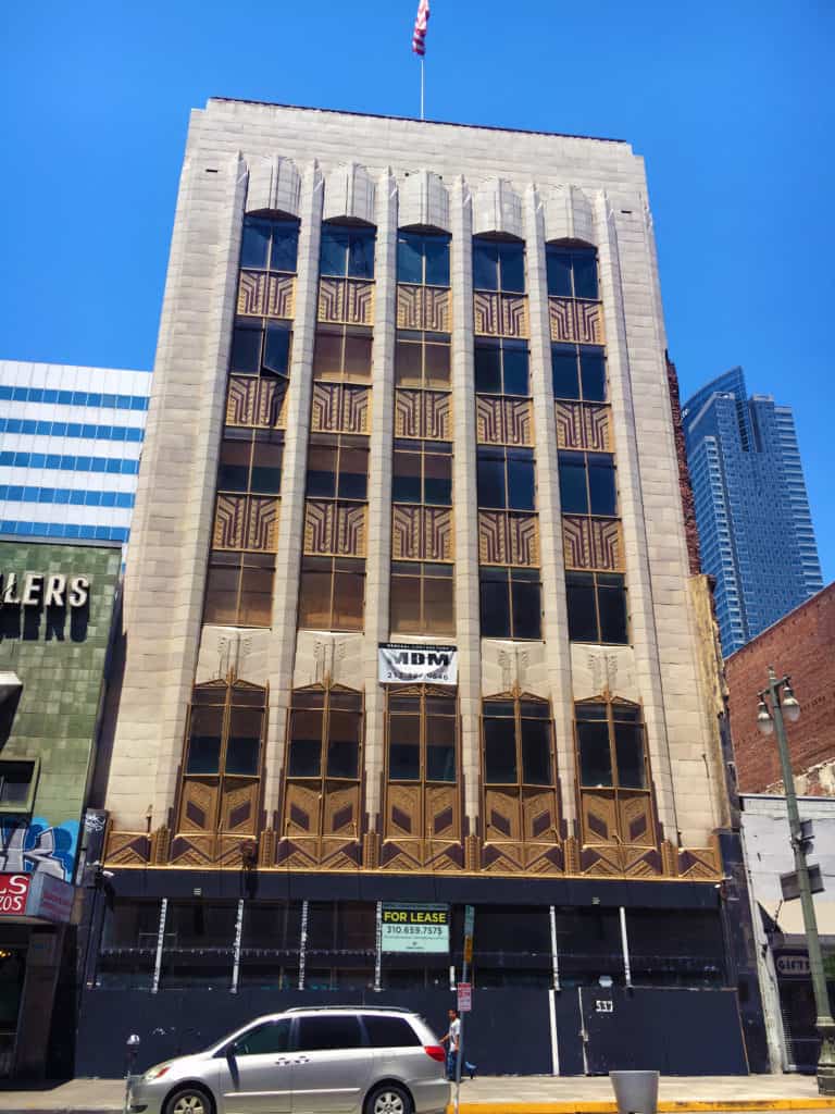
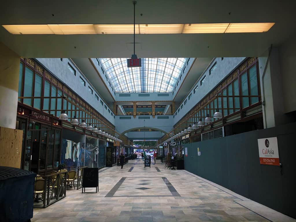
There were actually a LOT of people in Downtown L.A. on a sunny, warm Sunday afternoon, especially to the south in the Jewelry District. The street level of many buildings has been converted into small, retail units. However, it is haphazardly done for the most part. On one hand, it is good to see the people and retail units. On the other hand, it is such low rent quality that it deters from the innate advantages of the building space above. There are a lot of historic buildings in Downtown L.A. BEGGING for rehabilitation. A few renovations are progressing but not nearly enough. It is deeply frustrating. A lot of the new buildings are design disasters that most often successfully promulgate blank walls in downtown.

Pre-World War II building in the process of renovation (Photo: Mark David Major).
Conversion of ground level entry space into small, low quality retail units at the historic Palace Theater building in Downtown L.A. (Photo: Mark David Major).

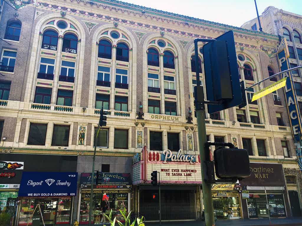
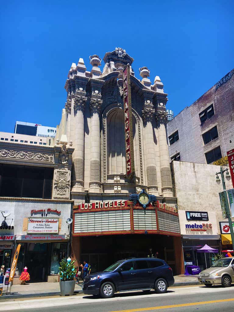
Given the history and money surrounding the film industry in Los Angeles, you would think residents and the city would take more care in rehabilitating the plenitude of old historic movie theaters but most often it appears to have been mindlessly done (e.g. Palace Theater above and Los Angeles Theater below) on a ‘cash in’ basis only.

Conversion of ground level entry space into small, low quality retail units at the historic Los Angeles Theater building in Downtown L.A. (Photo: Mark David Major).
Internal street arcade in the Jewelry District of Downtown L.A. (Photo: Mark David Major).

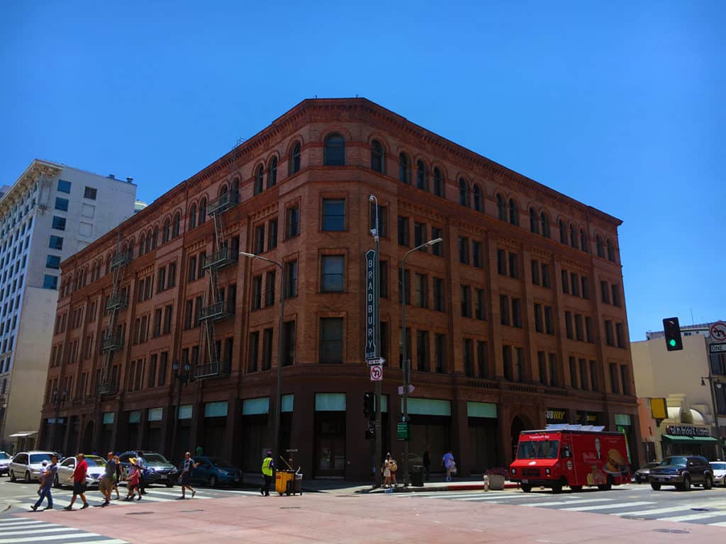
The gorgeous Bradbury Building (below) in Downtown L.A. was designed by Sumner Hunt and designated an architectural landmark in 1977. Its interior and rooftop were the settings for the climatic scenes of Ridley Scott’s science fiction classic Blade Runner (1982).

Bradbury Building designed by Sumner Hunt in Downtown L.A. (Photo: Mark David Major).

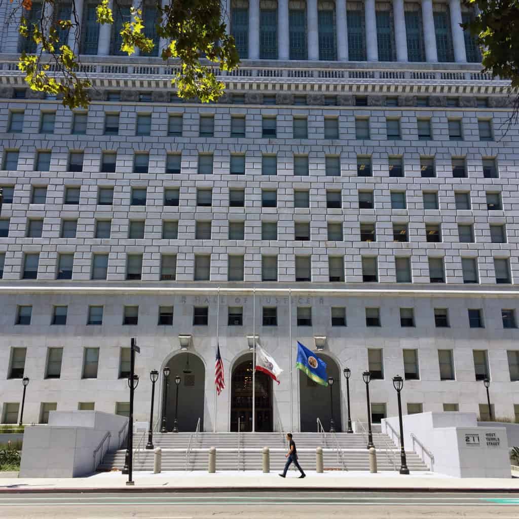
The government sector to the north in Downtown L.A. effectively demonstrates the danger of single-use districts. Whereas the Jewelry District was populated and lively on a Sunday afternoon, the government sector was deader than a graveyard, except for the cars racing through the area.

Distant view of the Disney Concert Hall designed by Frank Gehry in Downtown L.A. (Photo: Mark David Major).
View of Los Angeles City Hall in Downtown L.A. (Photo: Mark David Major).

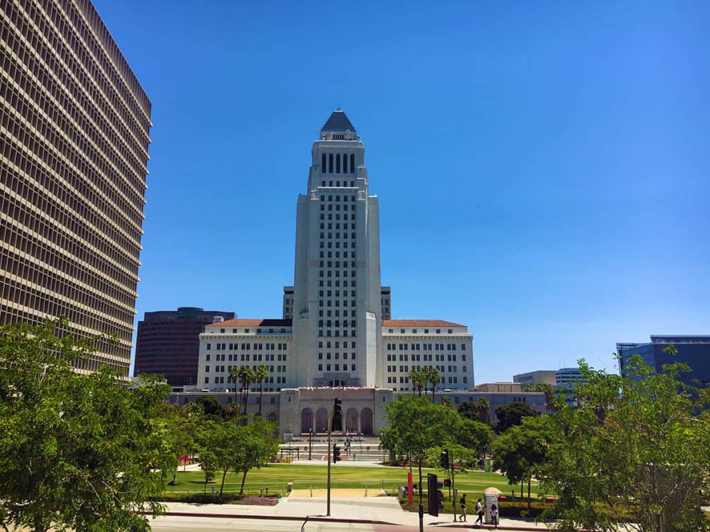
Los Angeles City Hall (above) was the exterior for the Daily Planet in the old Adventures of Superman series from the 1950s. The O.J. Simpson criminal trial occurred in the building to the left in 1994-95.

Hall of Justice in Downtown L.A. (Photo: Mark David Major).

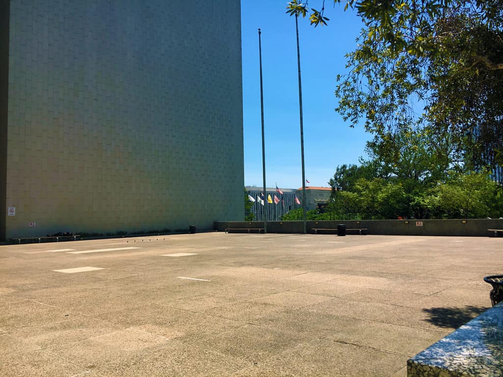
The Modernist building where the Los Angeles County Department of Regional Planning is housed in the government sector has a plaza attached to it, working hard at being as empty as the day it first opened, no doubt. The ironic symbolism seems appropriate.

Modernist plaza attached to the Administration building containing the Los Angeles County Department of Regional Planning in Downtown L.A. (Photo: Mark David Major).
Share the knowledge!
Share

PHOTO ESSAY | Downtown Springfield IL

God bless, historic downtown Springfield, Illinois… they are trying, they really are. Unfortunately, for every smart decision to promote vibrant urbanism, you can find another decision (or indecision) holding things back. The most important and destructive is the continual adherence to a one-way traffic system that has only one purpose: moving vehicles as quickly as possible through downtown. It is especially mind-boggling considering the large numbers of people (including school groups) visiting the Abraham Lincoln Presidential Library and Museum. Historic downtown Springfield is vibrant urbanism waiting to happen, trapped in its cage so automobiles can pass through quickly while only paying the minimal, necessary attention to pedestrians.

Historic Union Station and Union Station Plaza in downtown Springfield, Illinois (Photograph: Mark David Major).
Historic Union Square (to left) and Museum Parking Garage (to right) along East Madison Street in downtown Springfield, Illinois (Photograph: Mark David Major).

Another questionable design choice: locating a ‘dead’ facade parking garage across the street from beautiful, historic Union Station (now an accessory structure to the Lincoln Museum), thus creating an urban void absent of any active frontages. The parking garage was obviously built for the convenience of people visiting the Abraham Lincoln Presidential Library and Museum located one block away but does nothing for the street life along this one-way, ‘rat run’ segment of East Madison Street. The street trees seem like an apologetic, after-the-fact attempt to hide this failure of urban design and planning from citizens and visitors alike.

Historic Union Station and Union Station Plaza from the corner of Sixth Street and East Jefferson Street in downtown Springfield (Photograph: Mark David Major).

In the above photograph, you can see how much street width is dedicated to moving cars through the one-way street system in downtown Springfield and the amount of pavement pedestrians have to overcome to cross a street even though there is plenty of room for landscaped medians, enhanced pedestrian crosswalks, and on-street parking with a 20-25 mph speed limit to efficiently move (instead of stop-and-start) the traffic… perhaps, even the elimination of some stop lights using the design principles of shared space.

Abraham Lincoln Presidential Library (foreground) and Museum (background) at East Jefferson Street (center) and Sixth Street in downtown Springfield, Illinois (Photograph: Mark David Major).

The HOK design of the Abraham Lincoln Presidential Library and Museum is O.K. (not great, not awful, hardly objectionable) though the 2nd floor structural crossover of East Jefferson Street wouldn’t be necessary at all with traffic calming, generally in historic downtown Springfield and, specifically, on this segment of East Jefferson Street so people could pass freely from one ground level entrance to the other using the street without having to wait for the crosswalk lights to change.

View east along East Adams Street from Sixth Street in downtown Springfield, Illinois. The high-rise Modernist building in the background was originally constructed in 1973 as Forum 30 but is now the Wyndham Springfield City Centre Hotel (Photograph: Mark David Major).
View south down Sixth Street from the pedestrianized segment of East Adams Street in front of the Old State Capitol in downtown Springfield, Illinois. The historic Lincoln-Herndon Law Office building is located to the right (Photograph: Mark David Major).
View northwest across Old State Capitol grounds from the pedestrianized segment of East Adams Street with the historic Myers Brothers Building in the background in downtown Springfield, Illinois (Photograph: Mark David Major).
View east down the pedestrianized segment of East Adams Street with Old State Capitol to the left in downtown Springfield, Illinois (Photograph: Mark David Major).
View west down East Adams Street from the the pedestrianized segment of that street and 5th Street in downtown Springfield, Illinois (Photograph: Mark David Major).
View east down the pedestrianized segment of East Adams Street with historic shop frontages located to the right including the Feed Store and the National Museum of the Korean War in downtown Springfield, Illinois (Photograph: Mark David Major).
View south down Sixth Street from East Adams Street showing the retention of historic buildings (including Lincoln-Herndon Law Office to the right) and the flow of vehicles down this one-way traffic corridor. Off-street parking is allowed along this segment of Sixth Street in downtown Springfield, Illinois (Photograph: Mark David Major).
View west down the pedestrianized segment of East Adams Street with historic shop frontages located to the left such as the Feed Store and the National Museum of the Korean War and the Old State Capitol to the right in downtown Springfield, Illinois (Photograph: Mark David Major).
Historic Lincoln-Herndon Law Office building at the corner of Sixth Street and East Adams Street in downtown Springfield, Illinois (Photograph: Mark David Major).
Share the knowledge!
Share

PHOTO ESSAY | William Morgan Houses | Atlantic Beach, FL

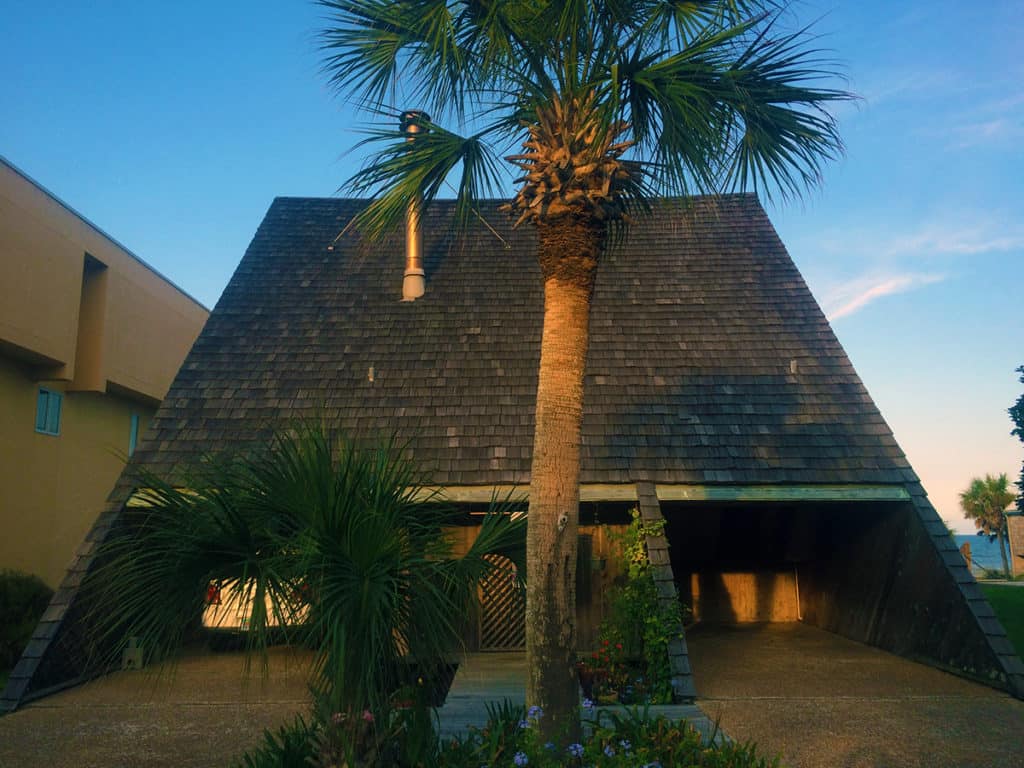
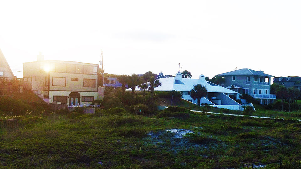
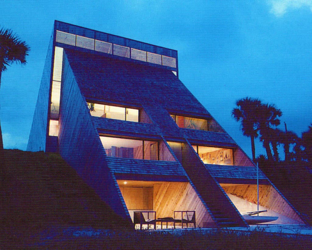
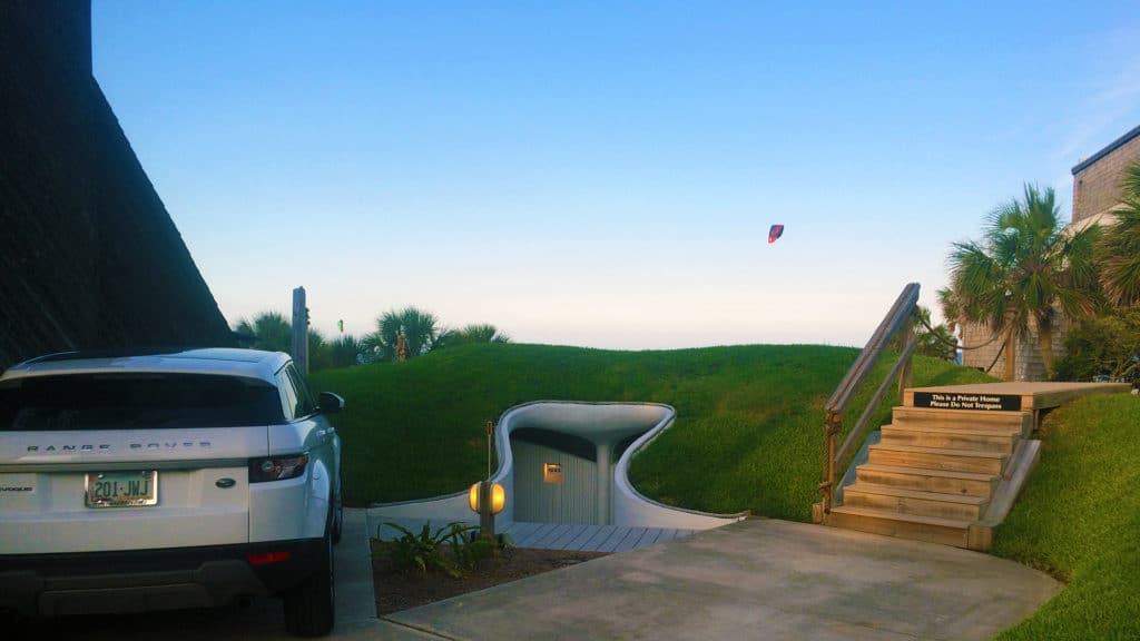
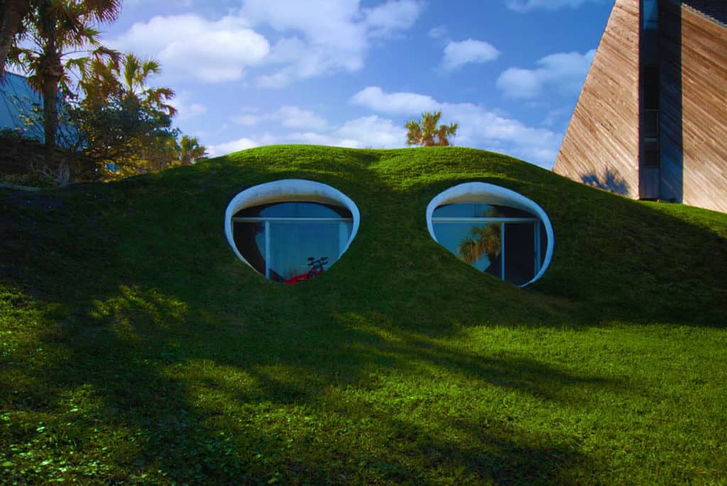
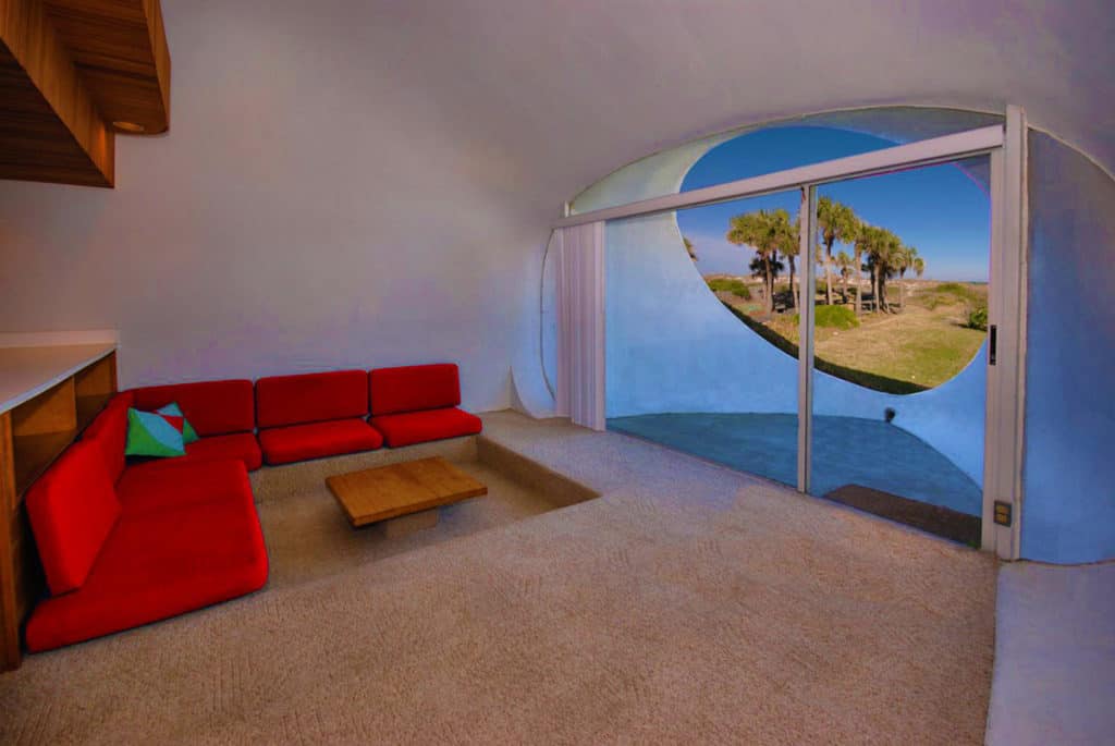
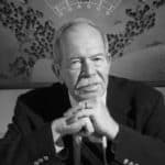
William Morgan was an American Modernist architect based in Jacksonville, Florida, who passed away earlier this year (December 14, 1930 – January 18, 2016). Three of his designs are included on the Florida Association of the American Institute of Architects list of Florida’s Top 100 Buildings including The Williamson House in Ponte Vedra Beach, Morgan’s Residence in Atlantic Beach, and Dickinson Hall at the University of Florida. Morgan grew up in Jacksonville and graduated with a bachelor’s degree from Harvard University before serving in the U.S. Navy during the Korean War. After the war, he returned to Harvard to study architecture. He studied in Italy on a Fulbright Scholarship and then returned to Jacksonville to open his architecture practice in 1961 (Source: Wikipedia; Photograph: Florida Times-Union).

Street-side view of the William Morgan House in Atlantic Beach, FL (Photograph: Mark David Major).

The William Morgan House located at 1945 Beach Avenue in a Atlantic Beach, Florida was commissioned 1971. The 1,800 square foot house is made of timber construction. Two triangular masses meet to form A-frame styled house, which sits partially atop a sand dune with the lower level resting on beach. There is a symmetrical exterior with stepped balconies, rough-sawn interior and exterior cedar siding with central-entrance stairway (Source: North Carolina Modernist Houses). Morgan’s use of the A-frame in the design to accommodate parking in street-side carports is remarkably similar to the prototypical design of the Southern California ‘dingbat’ houses of the 1950s/1960s.

Beach-side view – second from right – of the William Morgan House in Atlantic Beach, FL (Photograph: Mark David Major).
Nighttime beach-side view of the William Morgan House in Atlantic Beach, FL (Photograph: William Morgan).

William Morgan’s Dune House is a small earth-sheltered home in Atlantic Beach, Florida, which is actually a duplex of two near-identical homes of 750 square feet in size. As Morgan lived next door, he did not want the new house to block his view of the ocean so he preferred to keep the landscape natural. Morgan’s solution was to bury the house in an existing sand dune, which was  constructed in 1975 for use as vacation rentals. It is barely visible from the street above. From the ocean side, it appears somewhat frog-like with two large rounded openings framing the twin patios. The mass of sand over and around the homes moderates the inside temperatures year-round so very little heating or cooling is needed (Source: Small House Bliss).

Street-side entry to William Morgan’s Dune House in Atlantic Beach, FL (Photograph: Mark David Major).
Beach-side view of William Morgan’s Dune House in Atlantic Beach, FL (Photograph: Small House Bliss).
Interior view of living area in William Morgan’s Dune House in Atlantic Beach, FL (Photograph: Small House Bliss).
Share the knowledge!
Share

PHOTO ESSAY | Dana-Thomas House | Frank Lloyd Wright

Dana-Thomas House located on East Lawrence Avenue in Springfield, Illinois is one of the earliest examples of the Modernist Prairie Style of architecture designed by its leading advocate, American architect Frank Lloyd Wright, circa 1902-04. The State of Illinois bought the house in 1981 and it became a historic site under the Illinois Historic Preservation Agency, which led a restoration effort in 1987-1990 to refit the house to its appearance in 1910. It is believed to contain one of the most intact Frank Lloyd Wright architectural interiors in the United States (Source: Wikipedia).

There is an interesting, contradictory dynamic at work in the scale of the house in the horizontal and vertical dimension. Simply put, this house has a gigantic footprint! The house is 12,600 square feet, with thirty-five rooms and sixteen major spaces (Source: Illinois Historic Preservation Agency). This square footage is so far over-the-top that the top “is a dot to you” and me. This is the equivalent of five houses for the average American homeowner today! The horizontal emphasis in the designed elevations of the house (especially adjacent to busiest, public streets) allows this house to somewhat sit comfortably in the Springfield neighborhood in the vertical dimension of the elevation of the houses. However, the footprint of the house is equal to the size of four lots either immediately across the street or adjacent to the house. I suppose it is a testament to horizontal emphasis in Wright’s elevation designs that the house fooled me into thinking it was (only) around 6,000 square feet; itself, a extremely large house (and perhaps the footprint of only the first floor without the accessory structure/courtyard to the rear is around this number). The more you move around the house, the more conscious you become of how out-of-scale the Dana-Thomas House is to the surrounding urban context in the horizontal dimension of the plan.

First floor plan for Frank Lloyd Wright’s Dana Thomas House in Springfield, Illinois, USA (Source: Wikipedia).
Dana-Thomas House in Springfield, Illinois from 4th Street (Photograph: Mark David Major).
Dana-Thomas House in Springfield, Illinois from sideyard (Photograph: Mark David Major).
Dana-Thomas House in Springfield, Illinois from interior courtyard (Photograph: Mark David Major).
Dana-Thomas House in Springfield, Illinois from East Lawrence Avenue looking toward 4th Street (Photograph: Mark David Major).
Detail of Dana-Thomas House in Springfield, Illinois side entrance from East Lawrence Avenue (Photograph: Mark David Major).
Dana-Thomas House in Springfield, Illinois from corner of 4th Street and East Lawrence Avenue at side elevation of the house (Photograph: Mark David Major).
Dana-Thomas House in Springfield, Illinois from corner of 4th Street and East Lawrence Avenue at front elevation of the house (Photograph: Mark David Major).
Share the knowledge!
Share

Photo Essay | Central West End in Saint Louis

Large swathes of St. Louis that are downright depressing from the point of view of vibrant urbanism. By now, most everyone has heard about the racial problems in Ferguson, one of the earliest examples of post-war, white flight suburban sprawl in the city now populated by economically vulnerable populations; most likely heralding the start of the ‘ghettoization’ period for sprawl’s reputation in the United States. However, Federal, State and local redevelopment, planning, and housing policy has relentlessly decimated once-vibrant North St. Louis and East St. Louis, Illinois since World War II to the point where one might mistakenly think these areas were long-ago victims of a Soviet nuclear strike (no, these are self-inflicted wounds). Unfortunately, the same scenario is playing out for large areas of South St. Louis as well over the last twenty years.

However, there are still some pockets of vibrant urbanism on display in St. Louis, which gives the city something to build upon if leaders, professionals and others will only pause to look at those places as models for a sustainable future. One of these vibrant neighborhoods is the Central West End, which stretches from Midtown’s western edge to Union Boulevard, bordering on Forest Park, north to Delmar Blvd. and south to Clayton Ave. The Central West End includes an array of cultural institutions including the Cathedral Basilica of St. Louis associated with St. Louis University. The commercial district is located mainly along Euclid Avenue and a lot of the urban activity in the area is supported by faculty, medical staff, and students of Washington University and St. Louis University. Playwright Tennessee Williams, beat writer William S. Burroughs, and poet T.S. Elliot grew up/lived in the neighborhood. The Central West End is often mistaken for the setting of the classic 1944 film Meet Me in St. Louis starring Judy Garland.

Central West End in St. Louis from 1000m (Source: Google Earth).
Detail of sidewalk cafe in Maryland Plaza at the corner of North Euclid Ave. and Maryland Ave. in the Central West End (Photograph: Mark David Major).
Maryland Plaza at the corner of North Euclid Ave. and Maryland Ave. in the Central West End (Photograph: Mark David Major).
Active sidewalks along Euclid Ave. in the Central West End (Photograph: Mark David Major).
Sidewalk cafes about an hour before lunchtime during the weekday along Maryland Ave. in the Central West End (Photograph: Mark David Major).
Active sidewalks along North Euclid Ave. in the Central West End (Photograph: Mark David Major).
Interesting (aka bizarre) use of bathroom tiles on exterior facade of historic commercial building along North. Euclid Ave. in the Central West End (Photograph: Mark David Major).
Quiet residential streets as you turn the corner off Euclid Ave. in the Central West End (Photograph: Mark David Major).

Share the knowledge!
Share