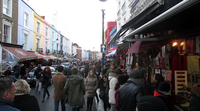
Photo Essay | London
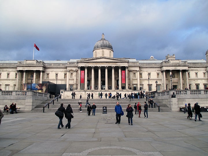
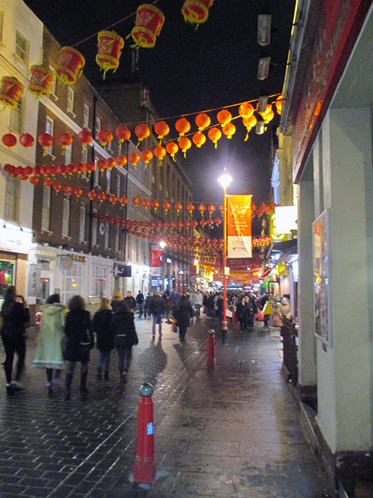
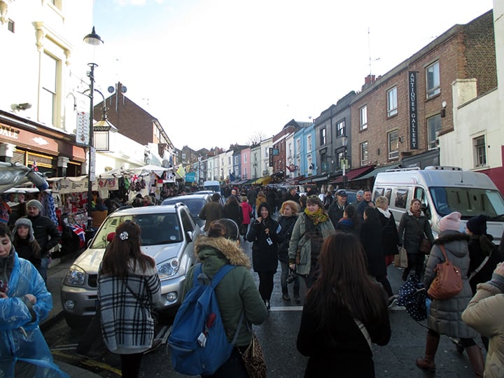
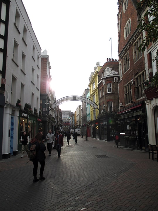
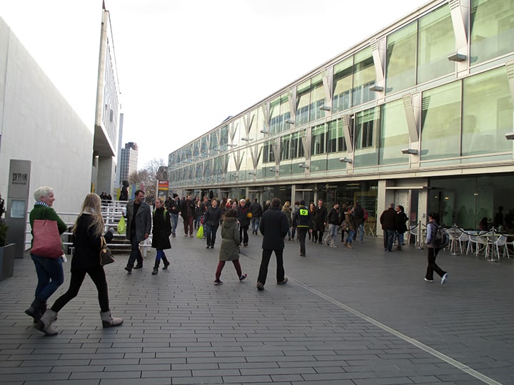
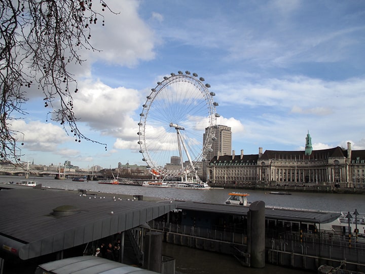
Photo Essay | London
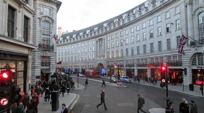
PHOTO ESSAY | Regent Street | London
Regent Street is a major shopping street in the West End of London. It is named after George, the Prince Regent (later George IV) and was built under the direction of the architect John Nash. The street runs from Waterloo Place in St James’s at the southern end, through Piccadilly Circus and Oxford Circus, to All Souls Church. From there Langham Place and Portland Place continue the route to Regent’s Park. The street was completed in 1825 and was an early example of town planning in England, replacing a number of earlier roads including Swallow Street. Nash’s street layout has survived, although all the original buildings except All Souls Church have been replaced following reconstruction in the late 19th century. The street is known for its flagship retail stores, including Liberty, Hamleys, Jaeger and the Apple Store. The Royal Polytechnic Institution, now the University of Westminster, has been based on Regent Street since 1838 (Source: Wikipedia).
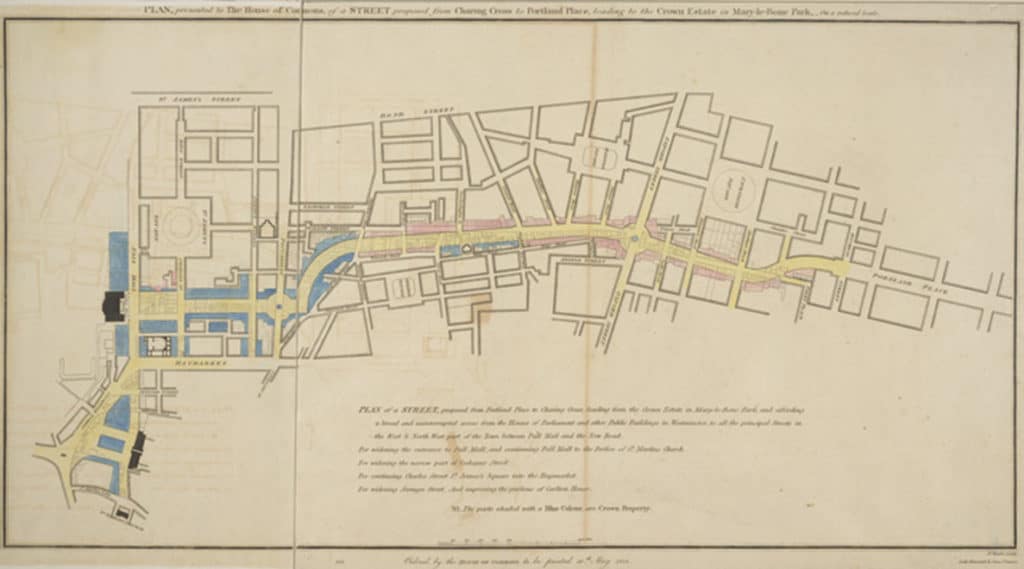
Regent Street proposal, published 1813, titled “PLAN, presented to the House of Commons, of a STREET proposed from CHARING CROSS to PORTLAND PLACE, leading to the Crown Estate in Marylebone Park” (Source: Wikipedia).
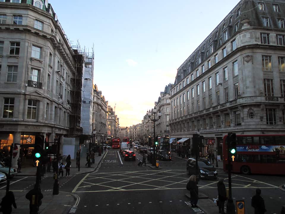
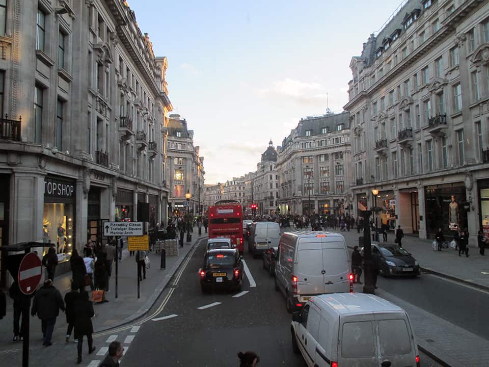
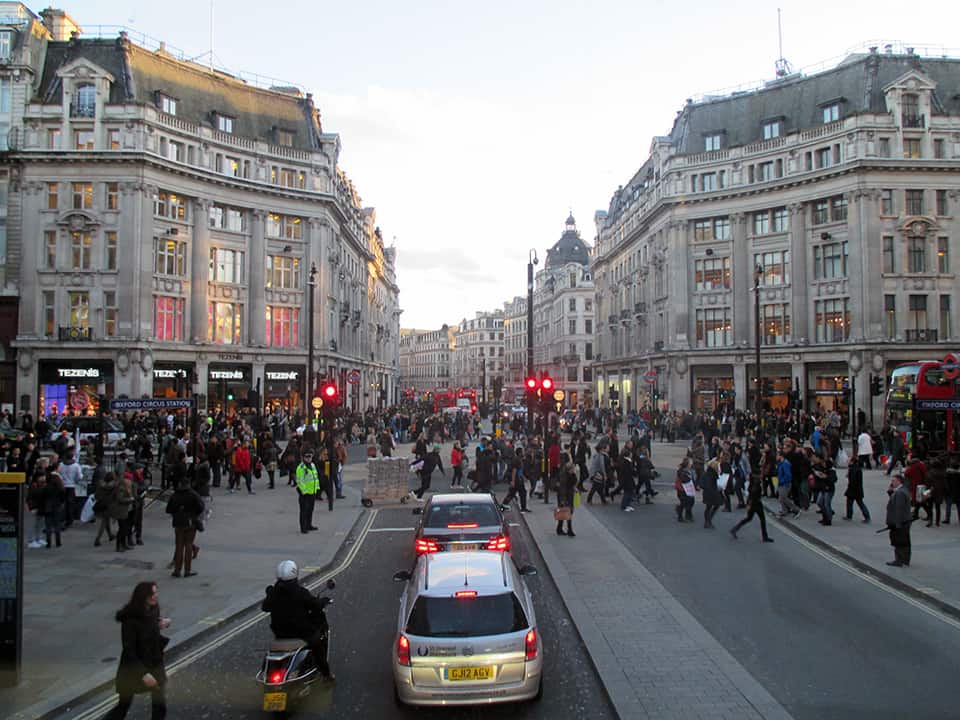
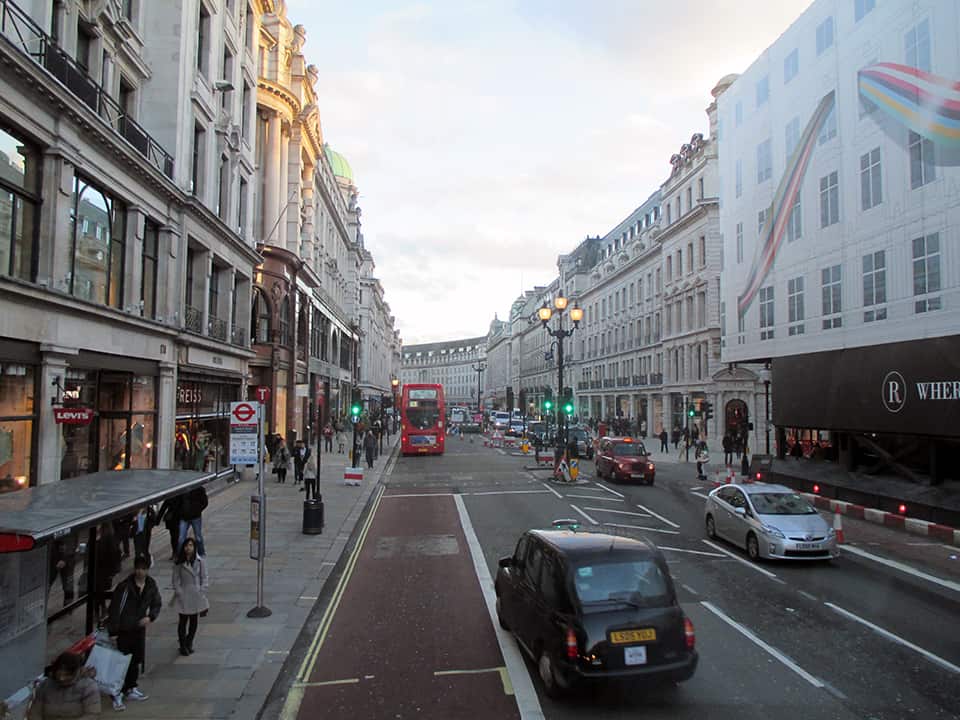
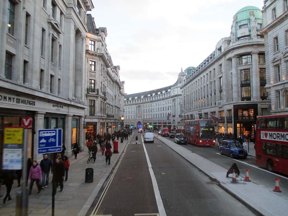
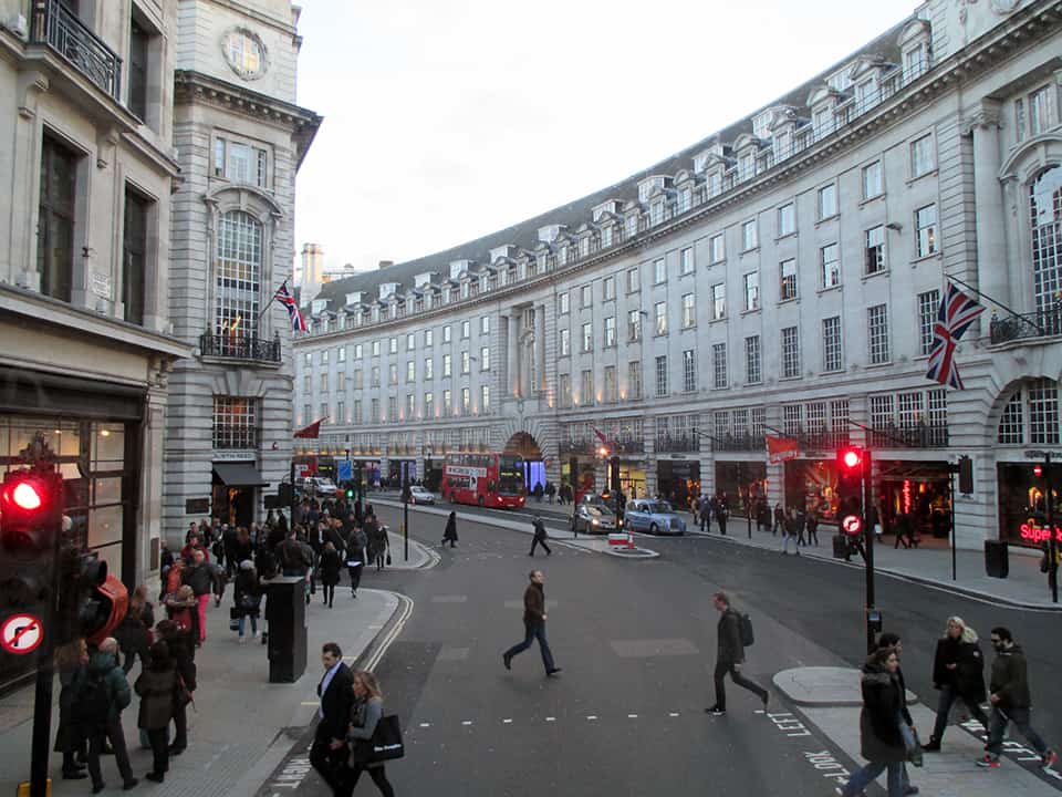
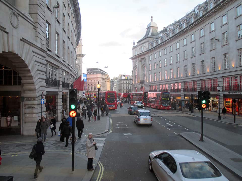
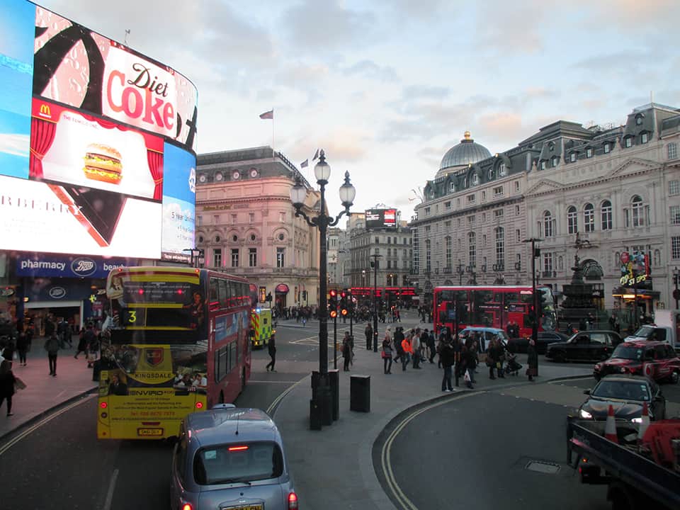
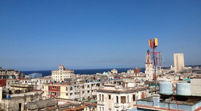
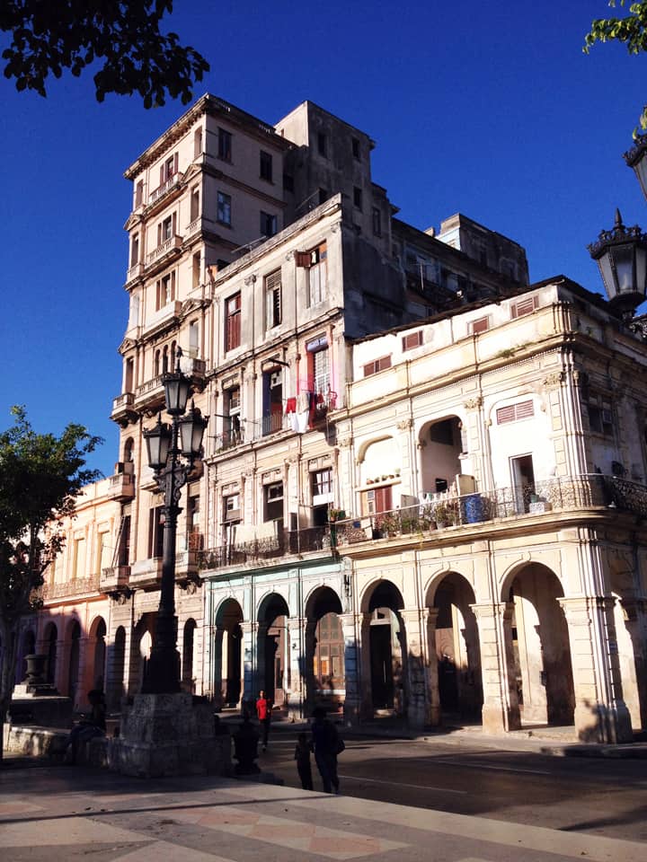
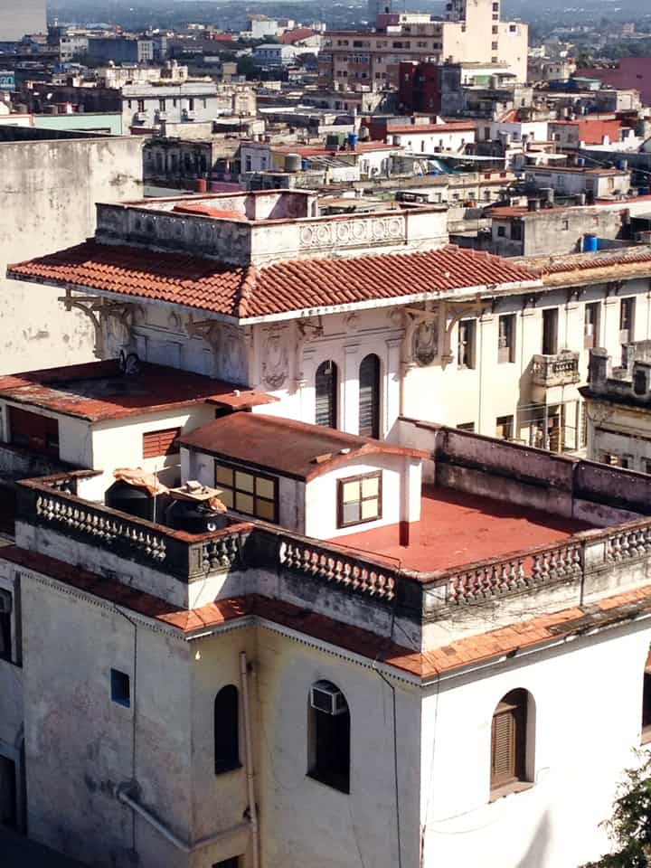
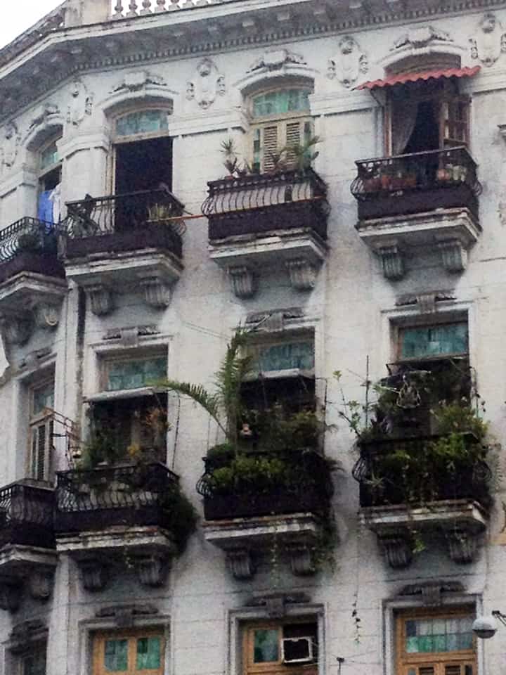
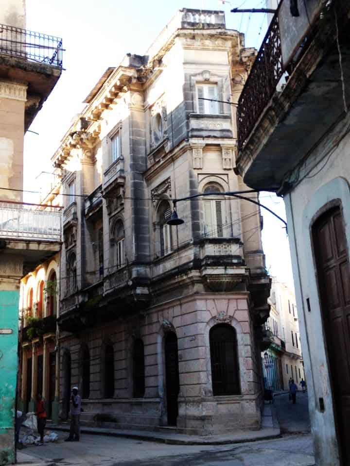
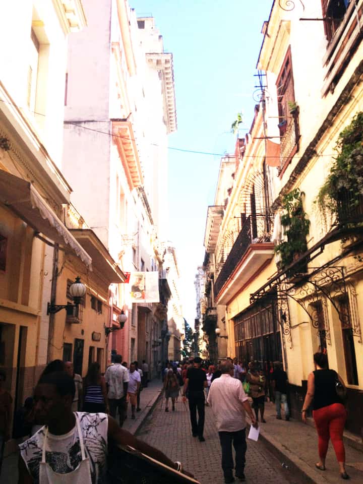
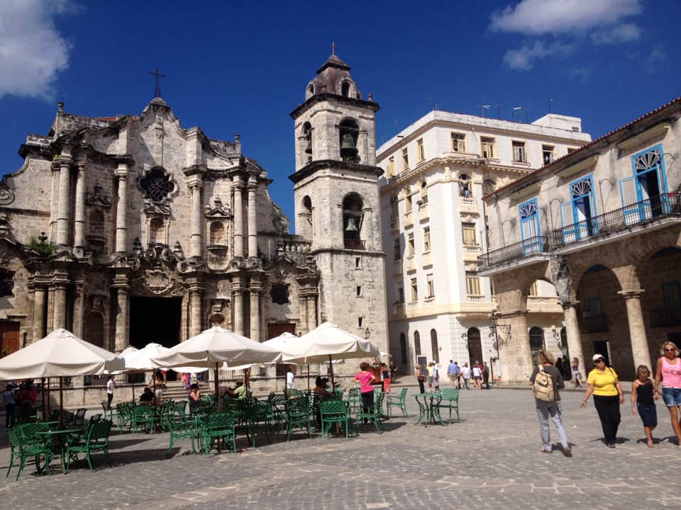
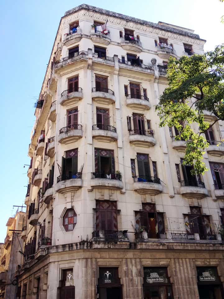
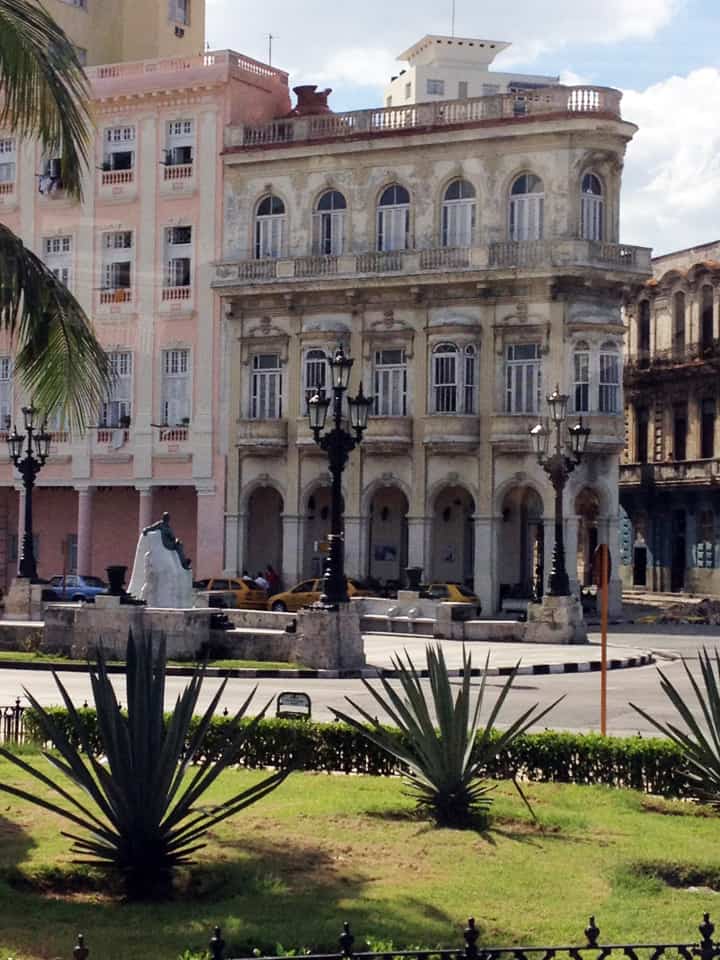
PHOTO ESSAY | Havana, Cuba | Part 2
Photographs by Concrete Blonde
Part 2 of a brief photographic essay of architecture and urban space in Havana, Cuba courtesy of Concrete Blonde. Again, the urban vocabulary of Havana is remarkably consistent: the street life of urban balconies, the use of balcony gardens in softening the urban streetscape, rooftop terraces, abundant use of urban sidewalk arcades, and the use of color.
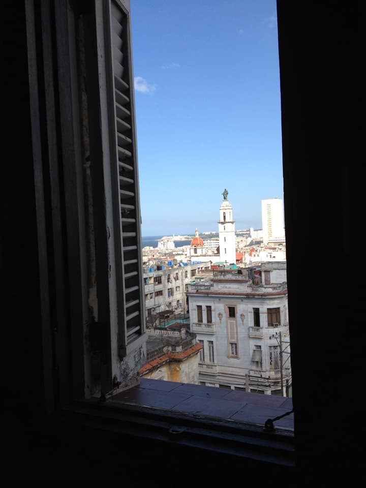
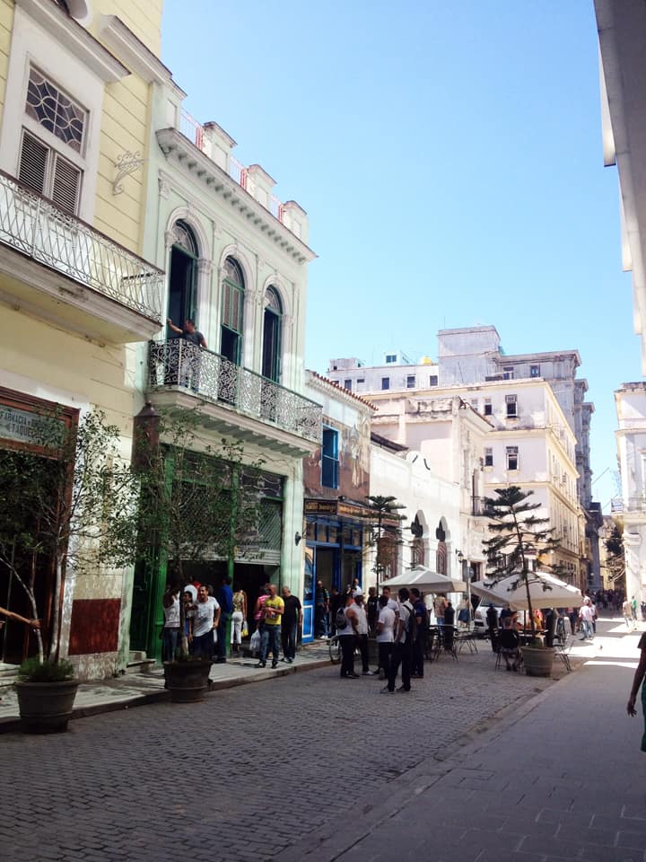
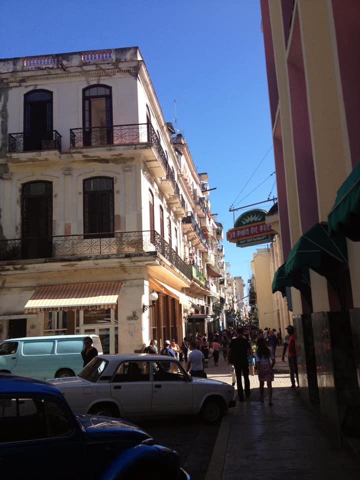
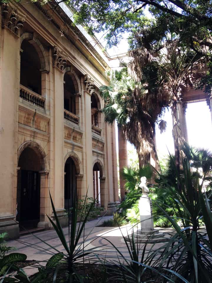
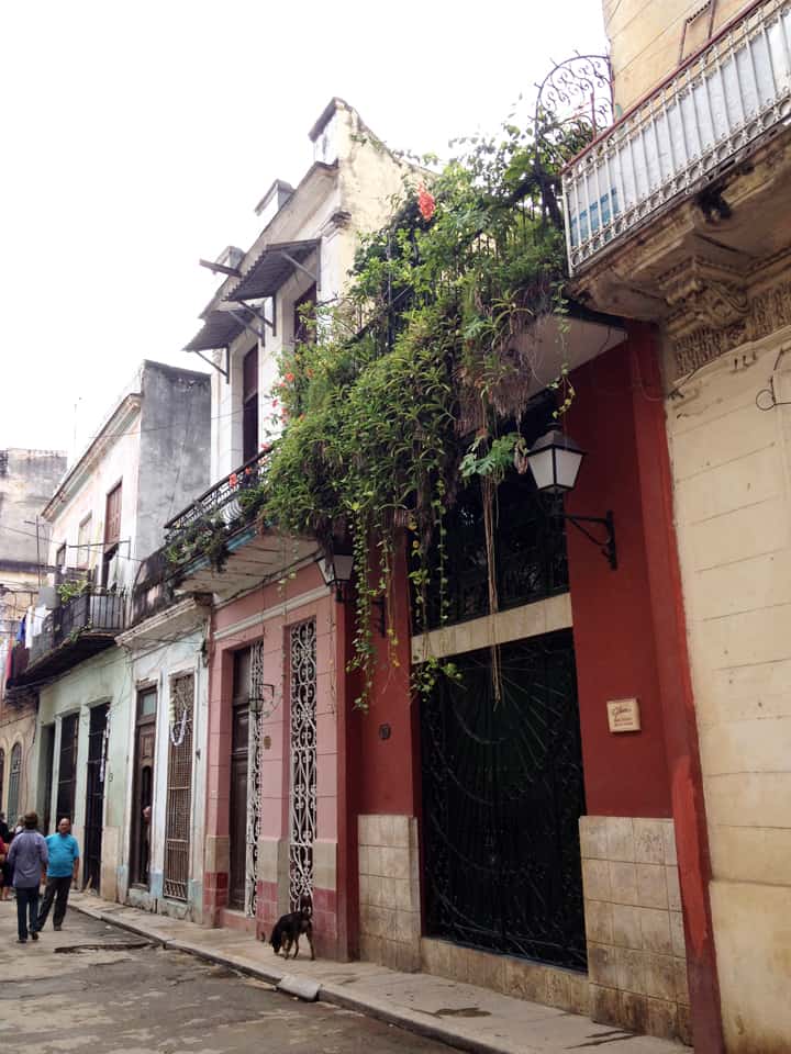
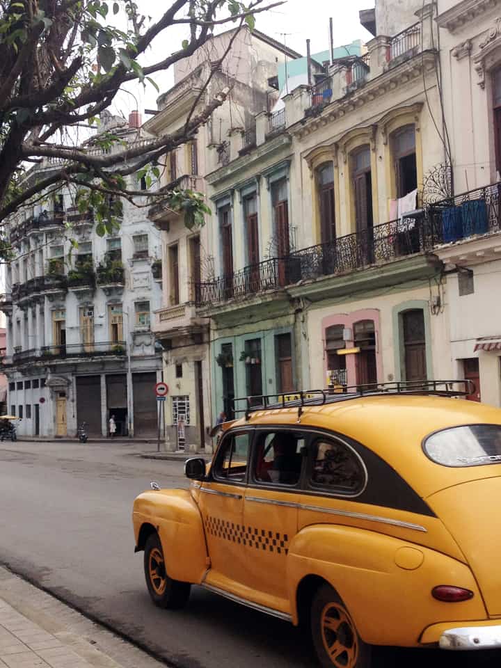
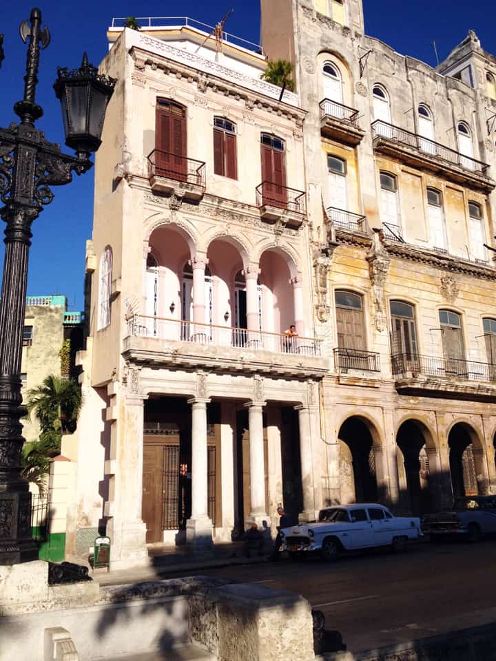
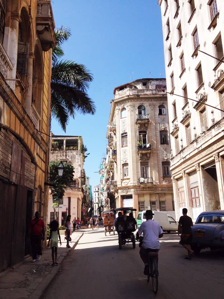
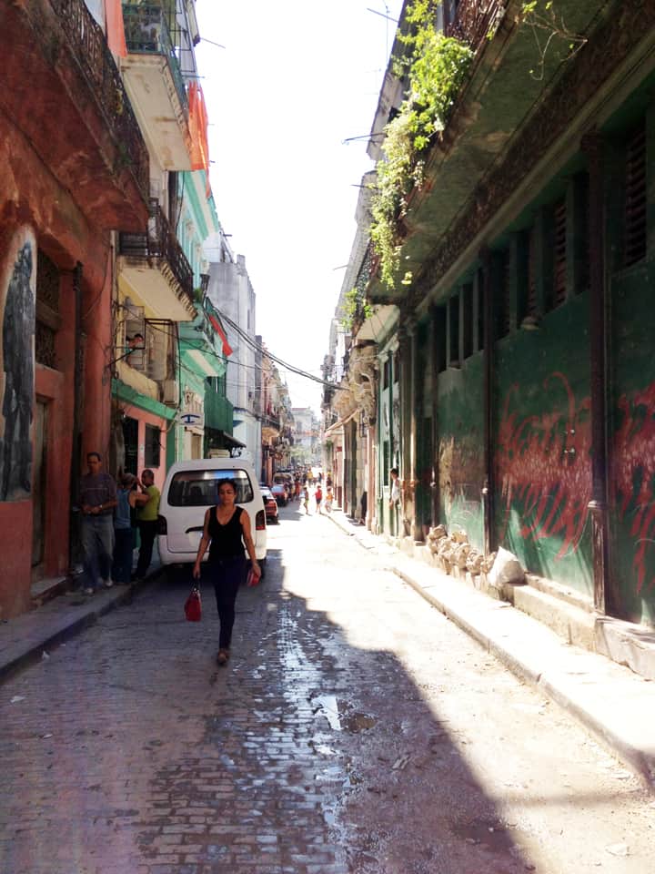
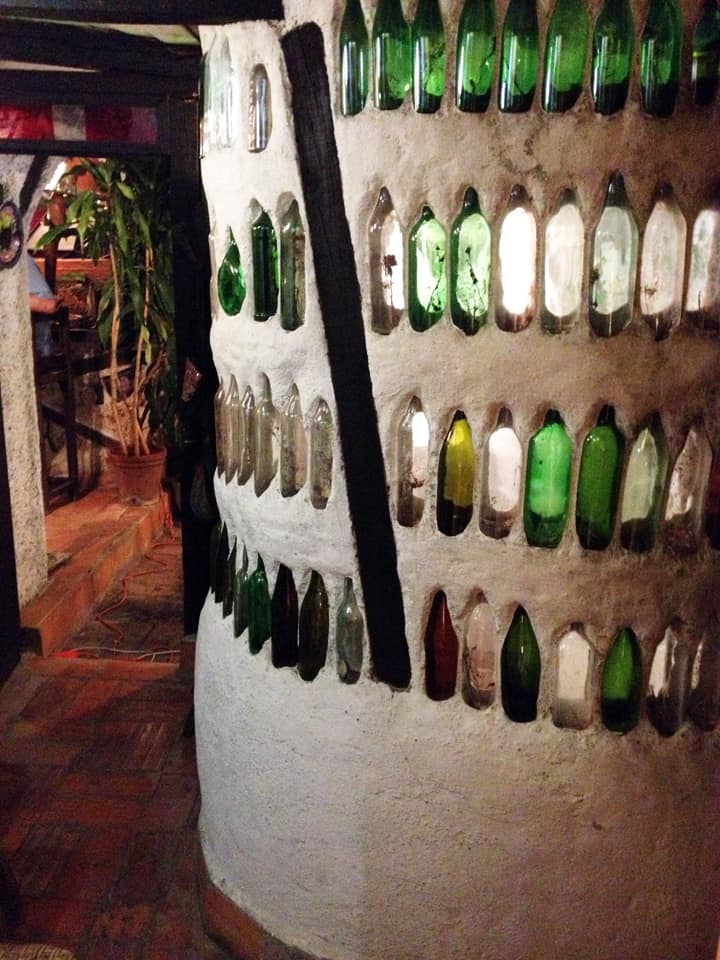
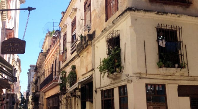
PHOTO ESSAY | Havana, Cuba | Part 1
Photographs by Concrete Blonde
Part 1 of a brief photographic essay of architecture and urban space in Havana, Cuba courtesy of Concrete Blonde. In terms of urbanism, the most interesting aspects of these photographs are: the street life of urban balconies, the use of balcony gardens in softening the urban streetscape, rooftop terraces, abundant use of urban sidewalk arcades, and the use of color. In terms of political ideology, it seems symbolic that many of the cars (most likely of origin in Eastern Europe) and best architecture (at least, in terms of design if not actual age) predates the Communist Revolution lead by Fidel Castro in 1959; make of that what you will. However, the result is an urban treasure trove awaiting re-discovery and historic rehabilitation.
Stay tuned for Part 2 of the Havana, Cuba Photographic Essay coming soon on The Outlaw Urbanist!
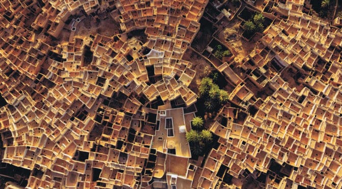
Gorgeous aerial photograph of the fascinating dual spatial network in a sub-Sahara African settlement in Libya where the ground-level street network tends to be reserved for men and roof terrace network tends to be reserved for women. Thanks to Dana Bixby for posting this National Geographic photograph on the Space Syntax in Architecture and Urban Design Facebook page.
Photograph: National Geographic, January 13, 2013 issue.